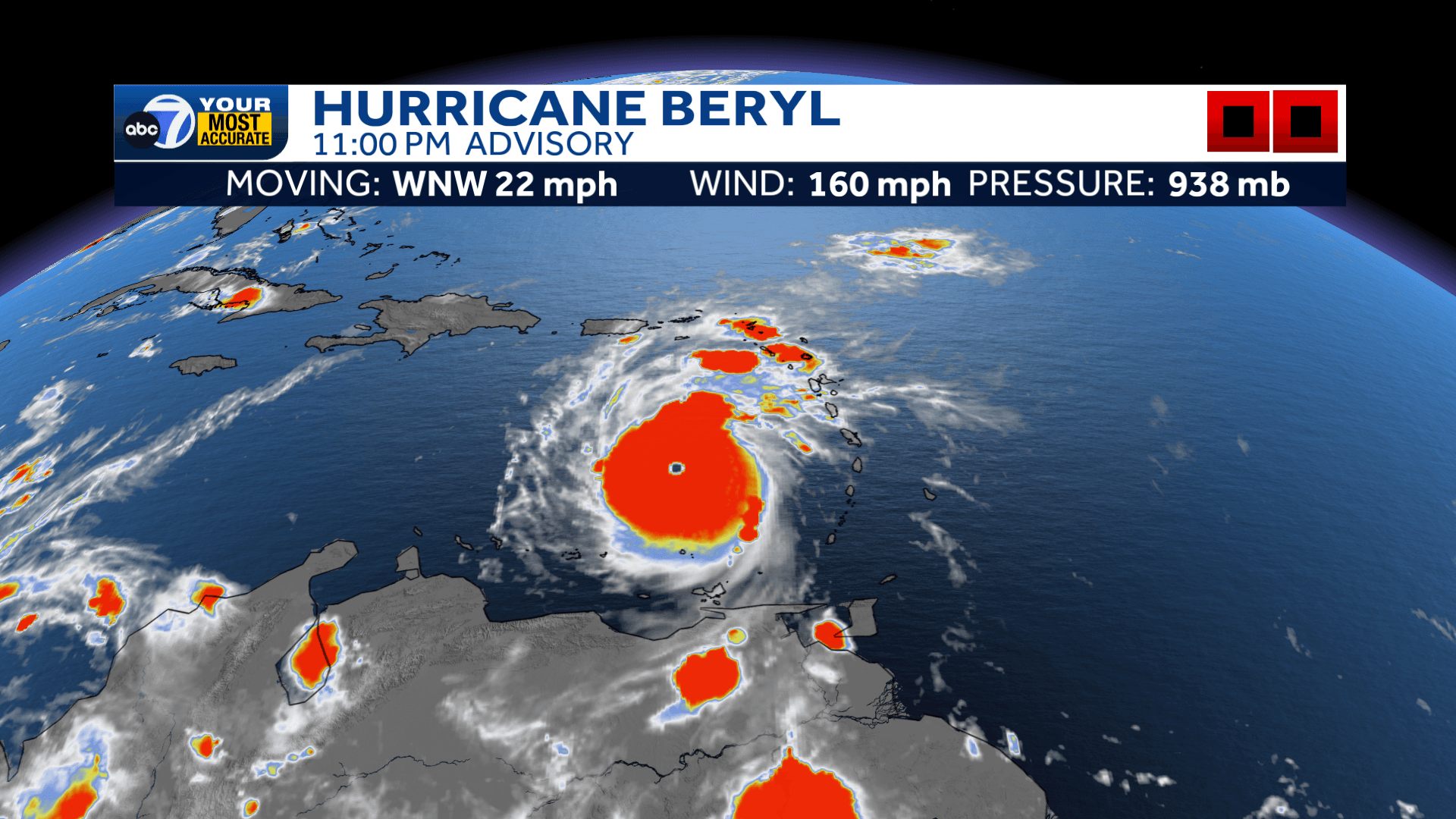
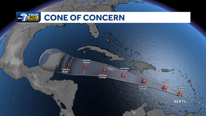
Hurricane Beryl still amazes us! At 11 p.m. Monday, Beryl is the first Category 5 storm in the Atlantic Basin in 2024, with winds of 160 mph, moving west-northwest at 21 mph. This is the earliest Cat. 5 on record in the Atlantic! Beryl is located about 510 miles east-southeast of Isla Beata in the Dominican Republic at 11 p.m. Monday. The important thing to remember here is that Beryl will stay FAR SOUTH of us here in Southwest Florida. Yes, this is a historic storm for sure. But it will not affect us in SWFL. We will have you spend more time reading this if a storm threatens us. Beryl is expected to gradually weaken as it tracks towards the Yucatan Peninsula of Mexico by the end of this week.
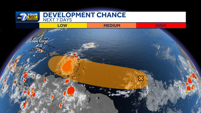
We also are tracking Invest 96 in the deeper Atlantic Ocean. Water temperatures are running quite warm, so we are seeing features develop in parts of the Atlantic where usually waves wouldn't develop until maybe the end of July or August. This system is on track to move over the same regions that Beryl tracked through, likely not as strong of a storm since Beryl would have churned up some cooler water from below the surface of the Atlantic. Invest 96 has a medium chance of developing over the next seven days.