
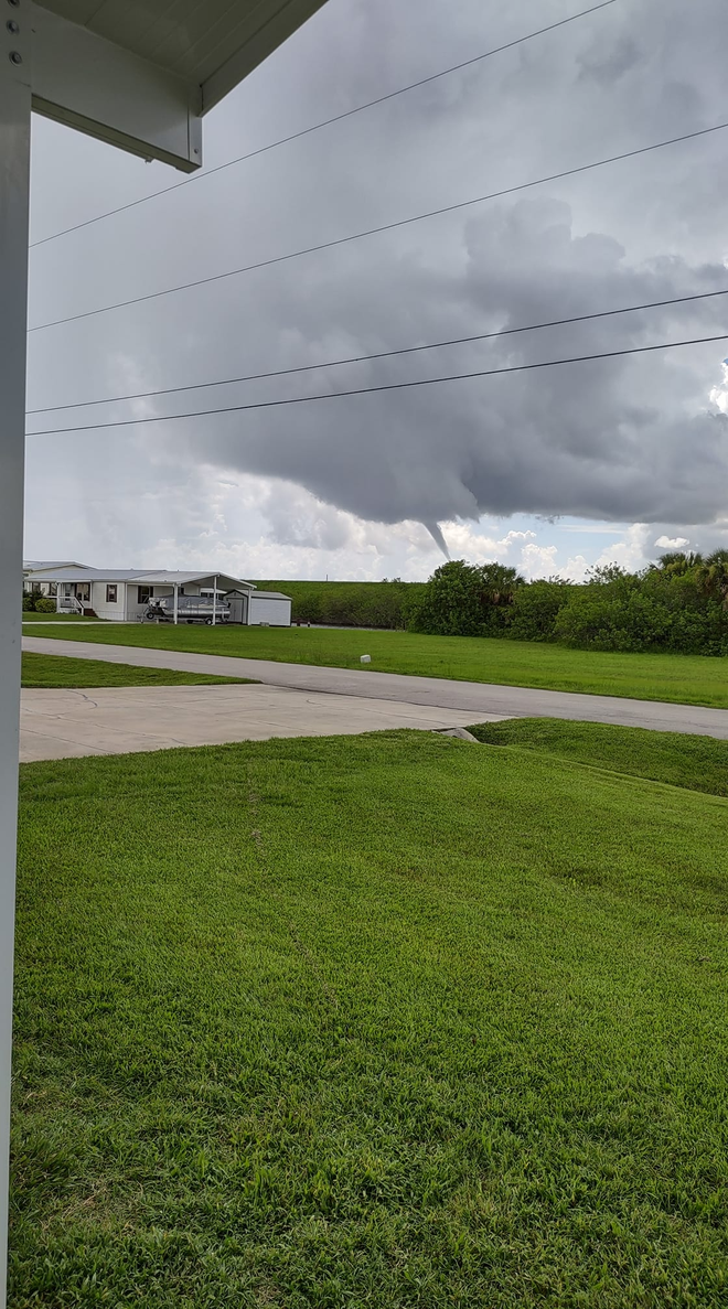
NBC2 viewer Brenda Walker spotted a funnel cloud over Lake Okeechobee shortly before noon on Thursday morning.
The funnel was captured in the image seen below from Walker's front porch.
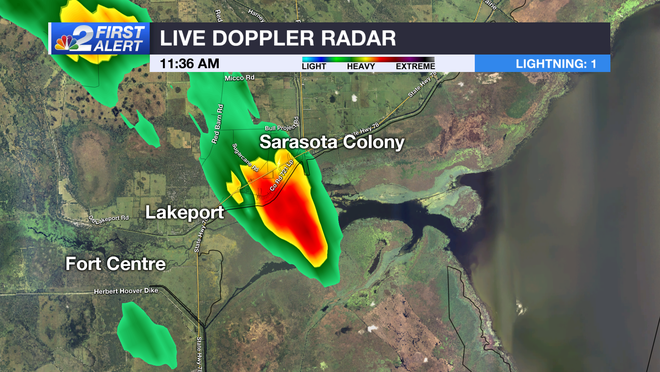
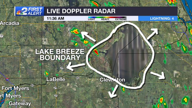
The thunderstorm that produced the funnel cloud over the lake was not particularly strong as based on Live Doppler Radar returns at 11:36 a.m. as seen below.
Given the time the funnel appeared though, the small storm was likely given an extra boost by the development of the Okeechobee lake breeze that would have been forming at the same time.
Lake breezes form in the same way as the Gulf of Mexico and Atlantic Ocean sea breezes because of the temperature contrast between land and water.
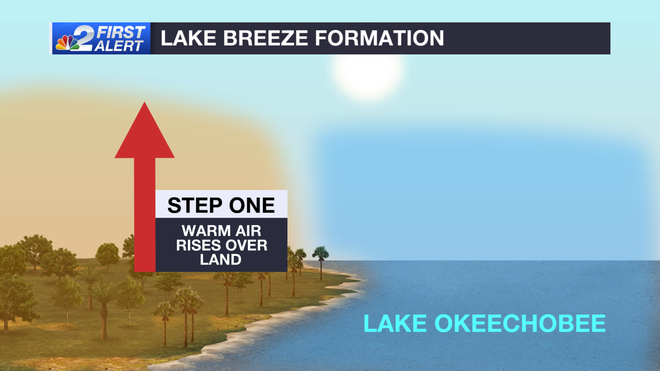
Because land heats up faster than water, the air over the land rises faster than what's over the water.
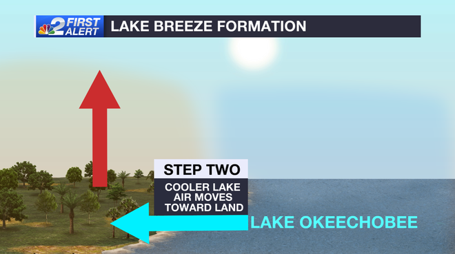
As air over the land rises, comparatively cooler air over the water (whether its Lake Okeechobee, the Gulf of Mexico, or the Atlantic Ocean) moves to fill in the void that the rising air creates when moving vertically.
This push of air from the lake forms a boundary or push of air that mimics the shape of the lake. As it pushes outward it sometimes forms showers and thunderstorms when the atmosphere is primed, and it collides with the prevailing winds across South Florida.
As of 1:12 p.m. there's been no confirmation of the funnel cloud ever touching down and no damage has been reported in the region.