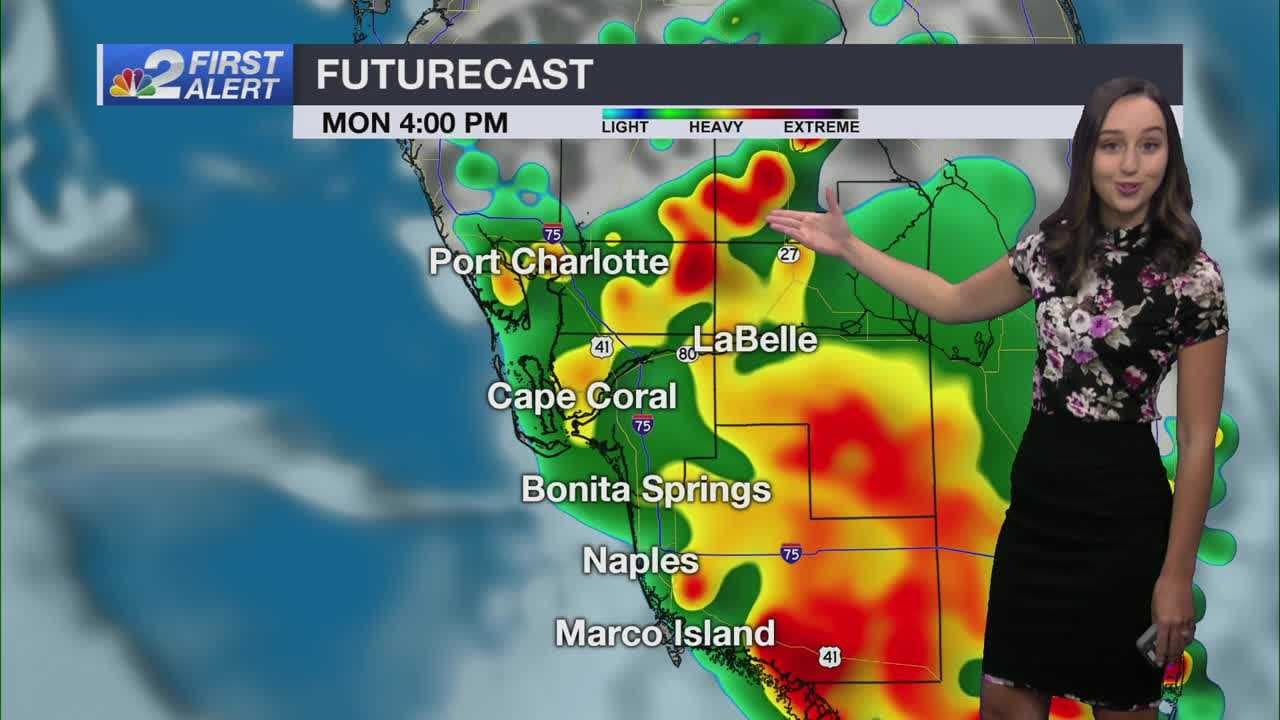
Isolated storms will become more widespread and intense into the evening across Southwest Florida.
While it won't be a complete washout, more communities will experience storms than will stay dry with very high coverage.
A Flood Advisory has been issued for parts of Collier County until 3:45 p.m. The impacted areas include North Naples, south to Lely, and from the coast to Golden Gate Estates. These areas may see minor flooding in low-lying and poor drainage areas.
The main threats will be downpours, frequent lightning and gusty winds. Keep the umbrella handy and have a way to receive weather alerts.
The NBC 2 Storm Team has issued a Severe Weather First Alert for the potential for strong storms during the evening commute.
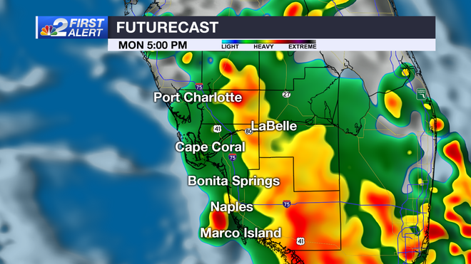
After sunset, storms will wind down, but rain will linger near the coast. All of Southwest Florida will dry out overnight as lows dip into the mid-70s. Get ready for another active day tomorrow, with showers developing by 1 p.m. and storms building into the evening.
Once again, some storms may become strong producing heavy rain and a lot of lightning. Stay weather-aware and give yourself plenty of extra time if you need to be on the roads.
Lighter concentrations of Saharan dust also continue to filter through the region, giving a hazy look to the sky. The dust will filter out toward the midweek with better visibility by the weekend.
Over the next week, many days will feature an east wind, which will favor coastal afternoon storms. Ahead of the daily storms, highs will be running close to seasonal in the low 90s. Keep the extra water and the umbrella handy, as you'll have a good chance of getting caught up in a downpour several days this week if you live closer to the Gulf.
The tropics remain quiet, with no development expected over the next seven days. Count on the NBC 2 Hurricane Tracking Team to keep you informed.