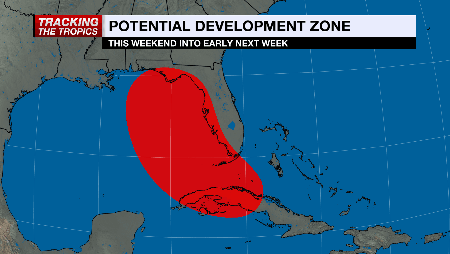
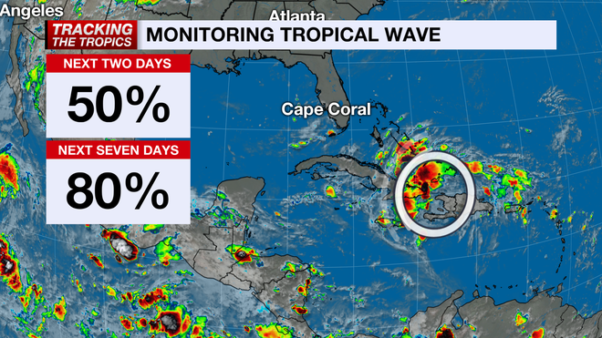
The NBC2 First Alert Hurricane Tracking team continues to monitor the movement of a tropical wave over the Atlantic Ocean near the Dominican Republic.
The wave, referred to as Invest 97L, is not currently strong or organized enough to be considered a tropical depression, and it's unlikely that it will be able to rapidly organize over the next two days.
MORE
:
Latest maps, models and paths for Invest 97L
The term "invest" means an area of tropical weather "
invest
igation
;" it is not a storm name designation. When a tropical wave is considered to be an invest area it allows tropical weather-specific forecast models to run, offering us a better idea as to where a budding system may move. The "97" part of the Invest 97L term refers to what order it falls during the season and the "L" letter portion of the term means that it's in the Atlantic basin.
MORE NBC2 First Alert Hurricane Guide+
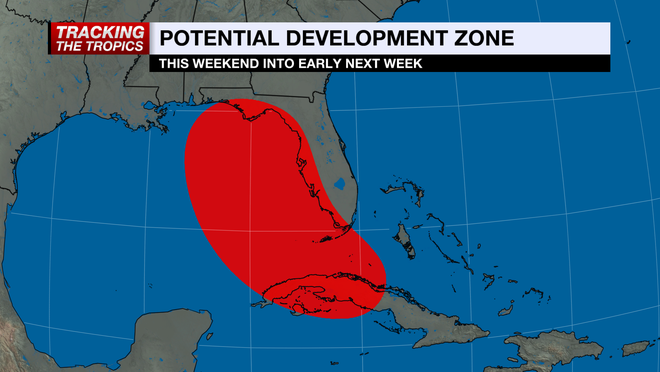
Early tropical weather-specific forecast models point to the system eventually getting into the Gulf of Mexico early next week.
For now, the main impacts to our community looks to be an increase in rain coverage starting this weekend. It should be stressed with any not-yet-formed tropical system the situation is fluid and subject to change based on the storm's evolution. It's a good idea in this case to make a point to be updated on the system at least once per day.