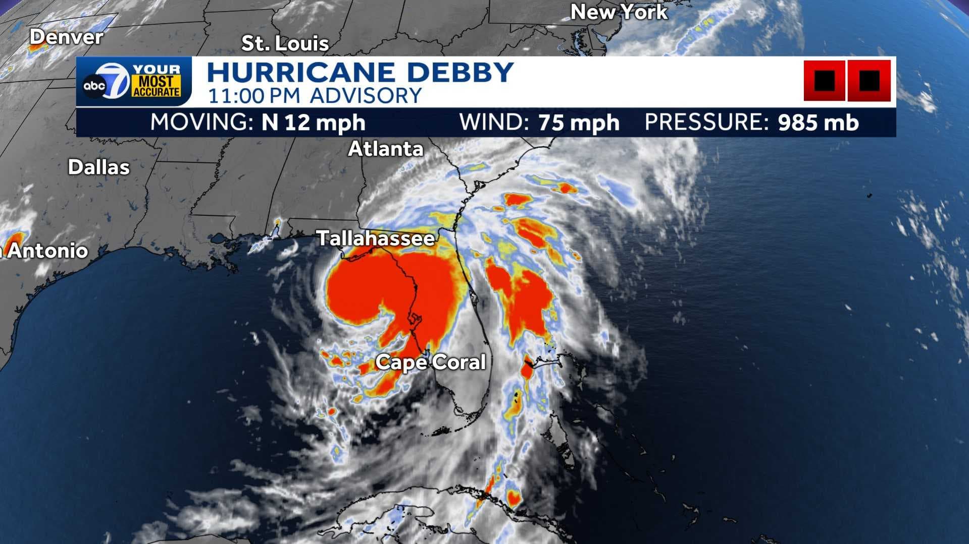
As of 11 p.m. on Sunday, Debby is now a hurricane with winds sustained at 75 mph. The storm is tracking north at 12 mph. As the hurricane continues to move closer to the Big Bend, strengthening is projected.
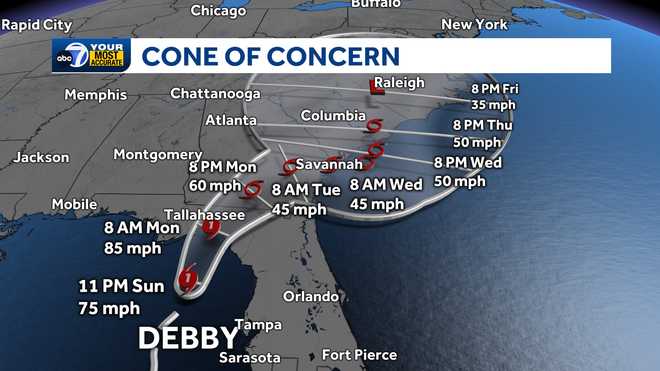
Active Warnings:
A Tropical Storm Warning is in effect for coastal Lee and coastal Charlotte Counties, as well as north through Tampa Bay.
A Flood Warning has been issued for all of Collier County until 8 a.m. Monday.
A Storm Surge Watch is still in effect for coastal Bonita Beach northward to the middle of Longboat Key, including Charlotte Harbor. Onshore winds may also produce higher tides and a peak storm surge of 1-4 feet through Monday. Homes and businesses near the coast should especially watch for flooding during high tides.
We are now past the heaviest rain. However, additional rainfall from this system has the potential to bring up to 2 inches of rainfall through Tuesday. Most areas will see half an inch-1 inch.
Excessive runoff may result in minor flooding of rivers, creeks, streams and other low-lying and flood-prone locations.
After landfall in the Big Bend by Monday morning, the system, the system will bring heavy rain and gusty winds to Georgia and South Carolina.
Stay with ABC7 for the latest updates as additional watches and warnings are issued.