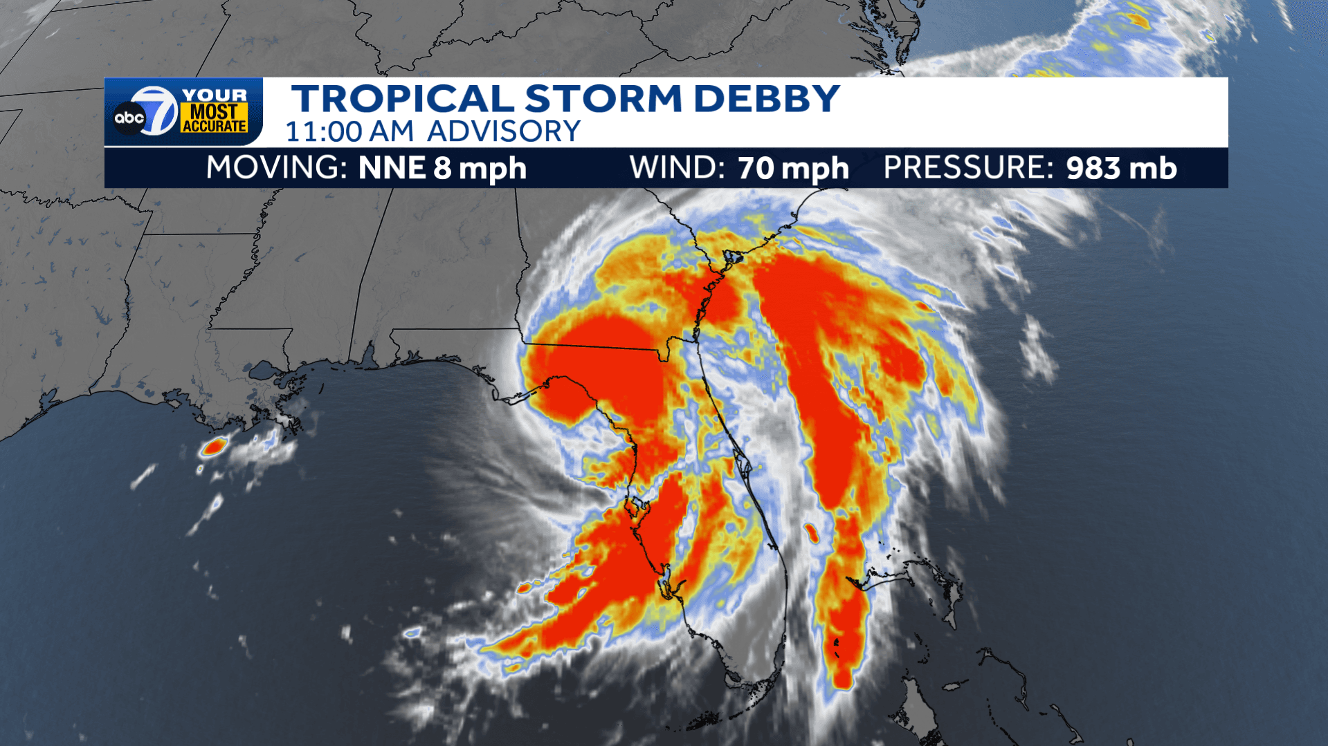
Debby made landfall on Florida's Big Bend, near Steinhatchee, Florida, Monday morning as a Category 1 hurricane with 80 mph winds.
As of the 11 a.m. advisory, Debby was weakened back into tropical storm strength with 70mph winds. The storm will continue to bring gusty winds and heavy, flooding rainfall to much of northern and central Florida throughout the day today.
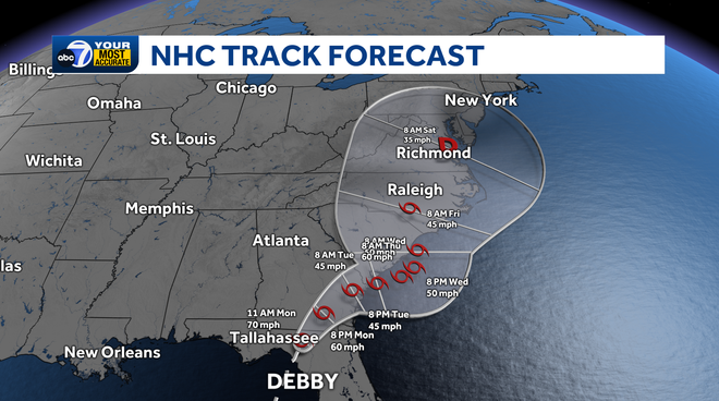
While the worst impacts from Debby are over for Southwest Florida, we'll continue to see additional downpours at times as feeder bands set up over the area today. With over-saturated grounds from yesterday's heavy rainfall, this could lead to additional flooding at times.
Further, onshore winds will continue, leading to another round of minor coastal flooding at high tide this afternoon.
Active Warnings:
A Flood Watch remains in effect for Lee, Charlotte and DeSoto Counties through Monday evening.
A Coastal Flood Advisory and High Surf Advisory remain in effect for coastal areas of SWFL, from Everglades City, north to Englewood Beach. Tides will run 1-2 feet above normal at high tide this afternoon, with 10ft + waves in the open waters in the Gulf of Mexico.
Stay with ABC7 for the latest updates as additional watches and warnings are issued.
Follow the ABC7 weather team on social media
- Chief Meteorologist John Patrick on Facebook and X
- Meteorologist Jim Dickey on Facebook and X
- Meteorologist Jesslyn Ferentz on Facebook and X
- Meteorologist Sami Squires on Facebook and X
Watch our forecasts on TV or online
- Here's where to find our latest video forecast .
- You can also watch a livestream of our latest newscast here
Download our free ABC7 News app for the latest.