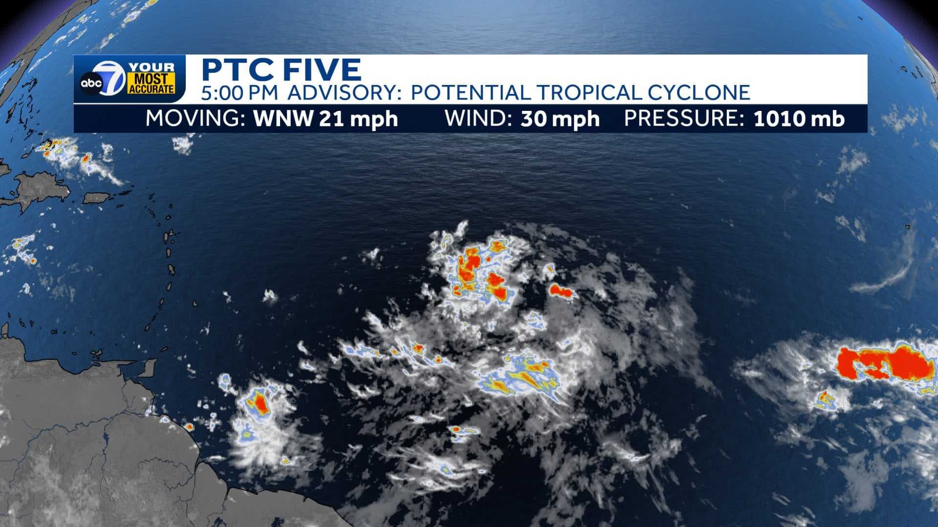
The National Hurricane Center has started issuing tropical storm watches in the Leeward Islands as they have named Potential Tropical Cyclone 5.
Showers and thunderstorms have become better organized in the tropical Atlantic, but it is not quite a tropical depression yet. A tropical depression or tropical storm is expected to form by Monday as the disturbance approaches the Leeward Islands. Once it becomes a tropical storm, it will take the name Ernesto.
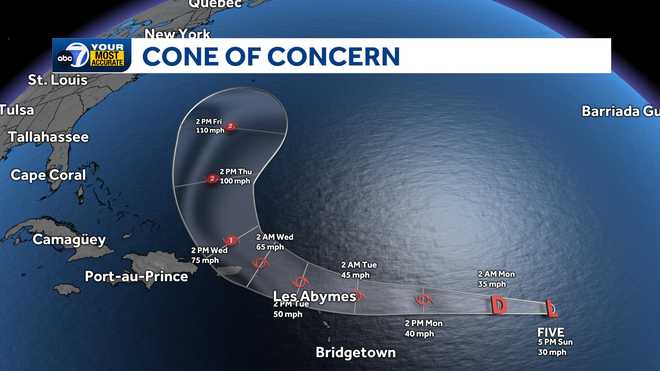
Puerto Rico will be keeping an eye on this system as it is forecast to be a strong tropical storm before moving close to or moving over the island. The disturbance is expected to become a hurricane and make a turn to the north. It is not a threat to Southwest Florida.
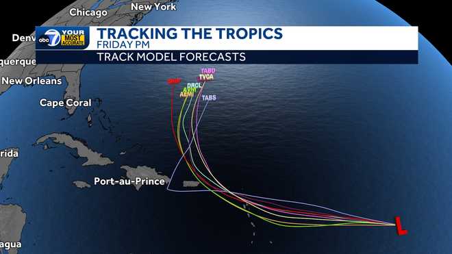
Track model forecasts, also known as spaghetti models, have good consensus that the system will turn away from the Bahamas and the U.S. into the open Atlantic.
With a month away from the statistical peak of hurricane season, the Atlantic Basin is likely to become more active.
Follow the ABC7 weather team on social media
- Chief Meteorologist John Patrick on Facebook and X
- Meteorologist Jim Dickey on Facebook and X
- Meteorologist Jesslyn Ferentz on Facebook and X
- Meteorologist Sami Squires on Facebook and X
Watch our forecasts on TV or online
- Here's where to find our latest video forecast .
- You can also watch a livestream of our latest newscast here
Download our free ABC7 News app for the latest.