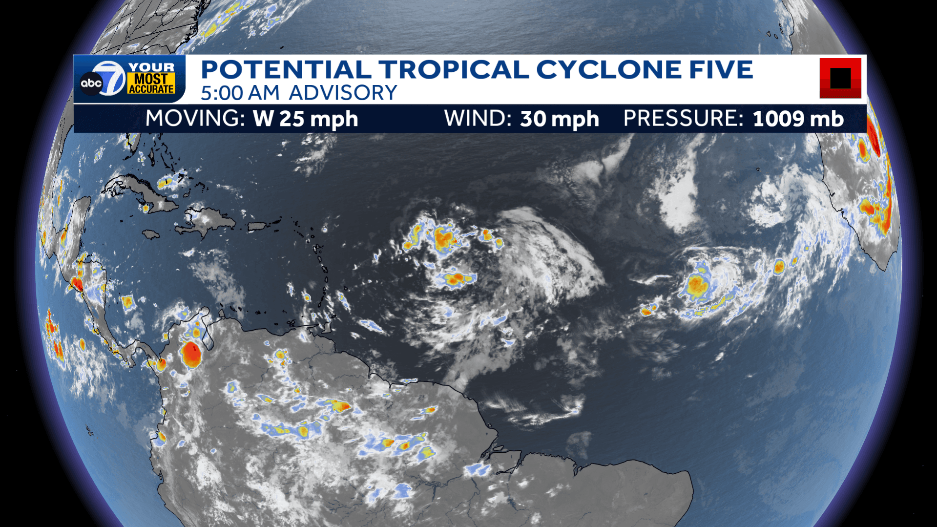
Potential Tropical Cyclone Five is moving west through the central Atlantic at 25 mph with winds sustained at 30 mph. The disturbance is producing a broad field of disorganized showers and thunderstorms battling some wind shear, but it is expected to become better organized over the next 48 hours.
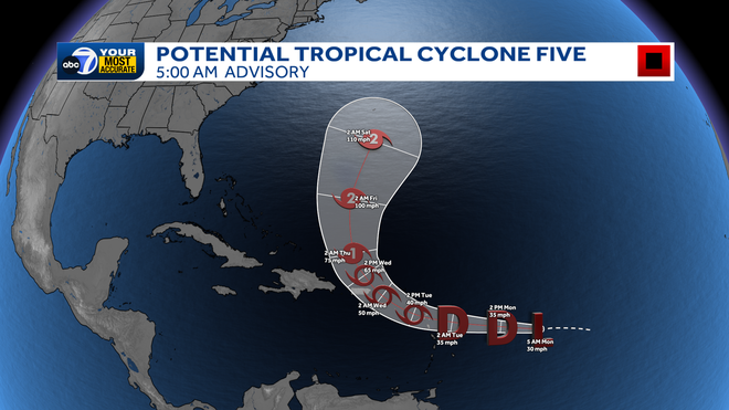
This disturbance is expected to become our next named storm by Tuesday. The next name on the list is Ernesto. Regardless of development, the storm will bring heavy rain, gusty winds and a flash flooding threat to the Lesser Antilles. Late Tuesday and into Thursday, the system will bring heavy rain and strong winds to Puerto Rico where a Tropical Storm Watch has been issued. There is good model consensus that the disturbance will take a turn to the north, getting swept up in an approaching trough.
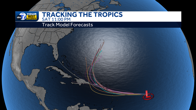
While the U.S. is not likely to experience any direct impacts at this time, there is potential for the system to increase the rip current risk along the U.S. East Coast heading into the weekend.
This is the only system in the Atlantic at this time. Be sure to check back into the forecast frequently.
Follow the ABC7 weather team on social media
- Chief Meteorologist John Patrick on Facebook and X
- Meteorologist Jim Dickey on Facebook and X
- Meteorologist Jesslyn Ferentz on Facebook and X
- Meteorologist Sami Squires on Facebook and X
Watch our forecasts on TV or online
- Here's where to find our latest video forecast .
- You can also watch a livestream of our latest newscast here
Download our free ABC7 News app for the latest.