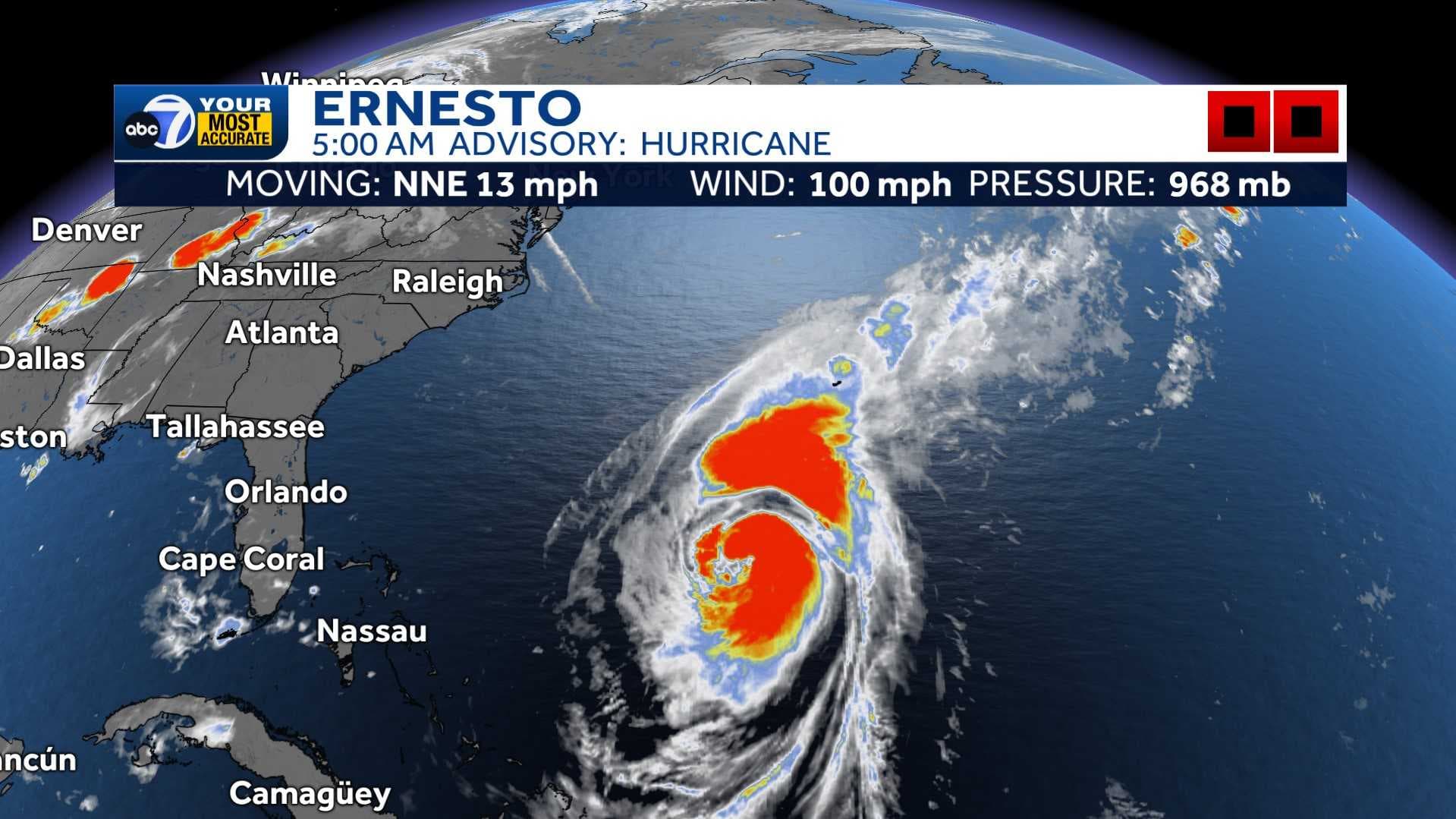
As of 5 a.m. Friday, Hurricane Ernesto tracks north in the Atlantic as a Category 2 with 100 mph sustained winds.
A Hurricane Warning has been issued for Bermuda as the storm will make a close pass on Saturday. Dangerous storm surge is expected to bring coastal flooding in areas with onshore winds.
Ernesto is projected to become a high-end cat. 2 hurricane late Friday. The storm will eventually weaken as it works into a region of cooler sea surface temperatures later this weekend and into early next week.
While no direct impacts are expected for the U.S., there will still be swells generated from Ernesto that reach the U.S. East Coast late Thursday night and through the weekend. There will be an increased threat of life-threatening surf and rip currents.
This is the only system in the Atlantic at this time. The next name on the list is Francine. We are less than one month out from the statistical peak of hurricane season. Be sure to check back into the forecast for frequent updates.
Follow the ABC7 weather team on social media
- Chief meteorologist John Patrick on Facebook and X
- Meteorologist Jim Dickey on Facebook and X
- Meteorologist Jesslyn Ferentz on Facebook and X
- Meteorologist Sami Squires on Facebook and X
Watch our forecasts on TV or online
- Here's where to find our latest video forecast .
- You can also watch a livestream of our latest newscast here
Download our free ABC7 News app for the latest.