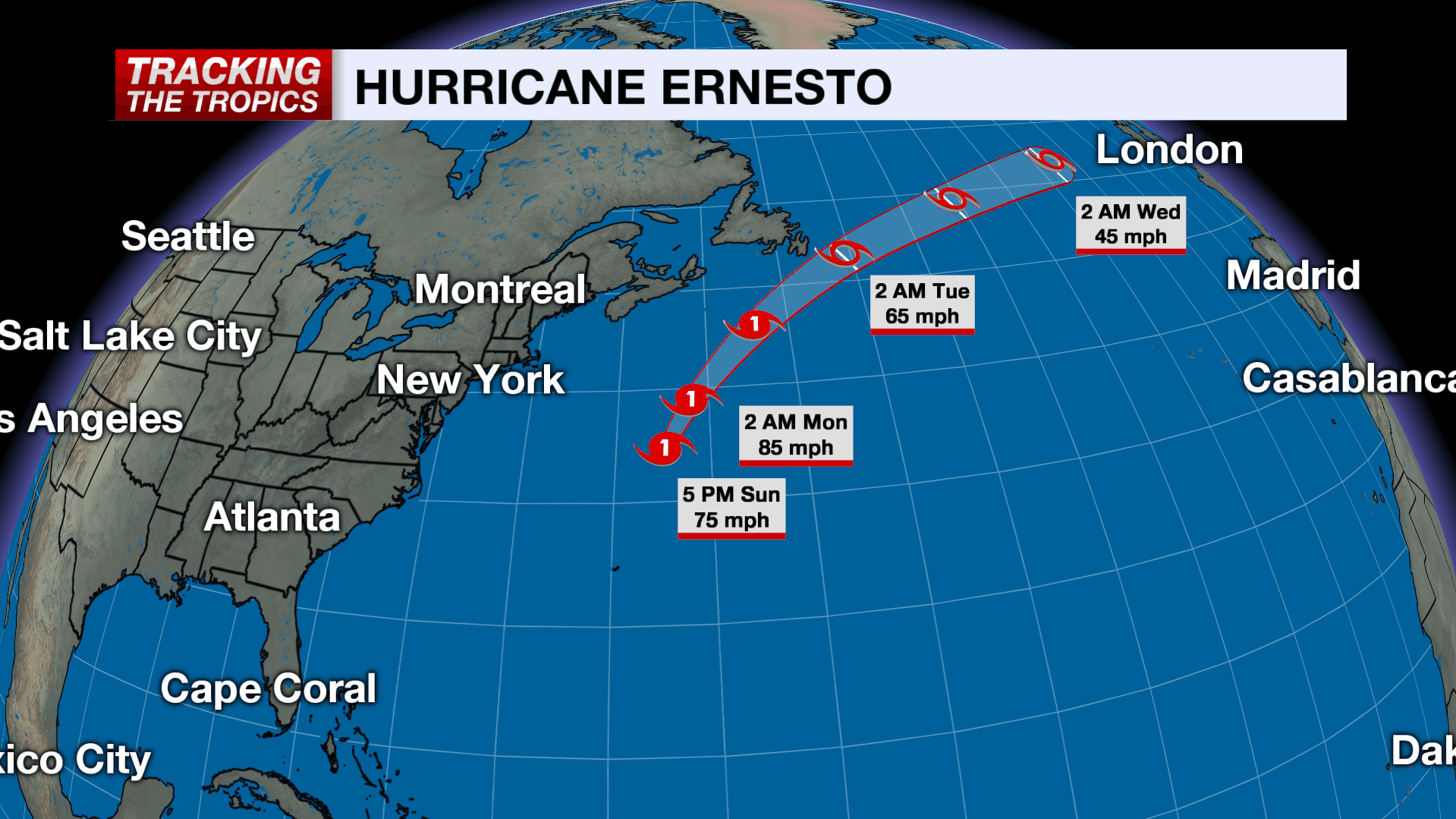
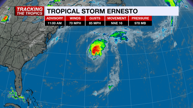
Ernesto continues to pull away from Bermuda after making landfall as a Category 1 hurricane early Saturday morning. As of 11 a.m. Sunday, Tropical Storm Ernesto has winds sustained at 70 mph.
The storm has picked up in forward speed, now moving north-northeast at 16 mph.
MORE: Maps, models and spaghetti plot
While the U.S. will not experience a direct threat from Ernesto, swells from the storm are increasing the risk of rip currents and higher surf along the East Coast this weekend.
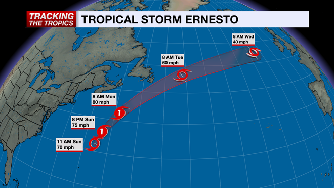
Ernesto is projected to pick up forward speed as a trough digs into the Atlantic. As it moves over warmer water in the next 24 hours and mixes out drier air, there will be a small window for restregnthening Sunday night. However, as it tracks northeast of the Gulf Stream and toward cooler waters, the system will overall weaken. The storm is expected to lose its tropical characteristics early next week just east of Newfoundland. Ernesto will bring heavy rain and gusty winds to eastern Newfoundland late Monday night.
MORE: Hurricane Week
Ernesto is expected to transition to a post-tropical cyclone within the next 48 hours.
The rest of the tropical Atlantic is quiet for now, but it's important to stay updated as we head into the peak of the hurricane season. The next name on the list is Francine.
Follow the NBC2 weather team on social media
- Chief Meteorologist Allyson Rae on Facebook and X
- Meteorologist Jason Dunning on Facebook and X
- Meteorologist Rob Duns on Facebook and X
- Meteorologist Justin Hobbs on Facebook and X
- Meteorologist Lauren Hope on Facebook and X
Watch our forecasts on TV or online
- Here's where to find our latest video forecast
- You can also watch a livestream of our latest newscast here
DOWNLOAD the free NBC2 News app for your latest news and weather alerts.