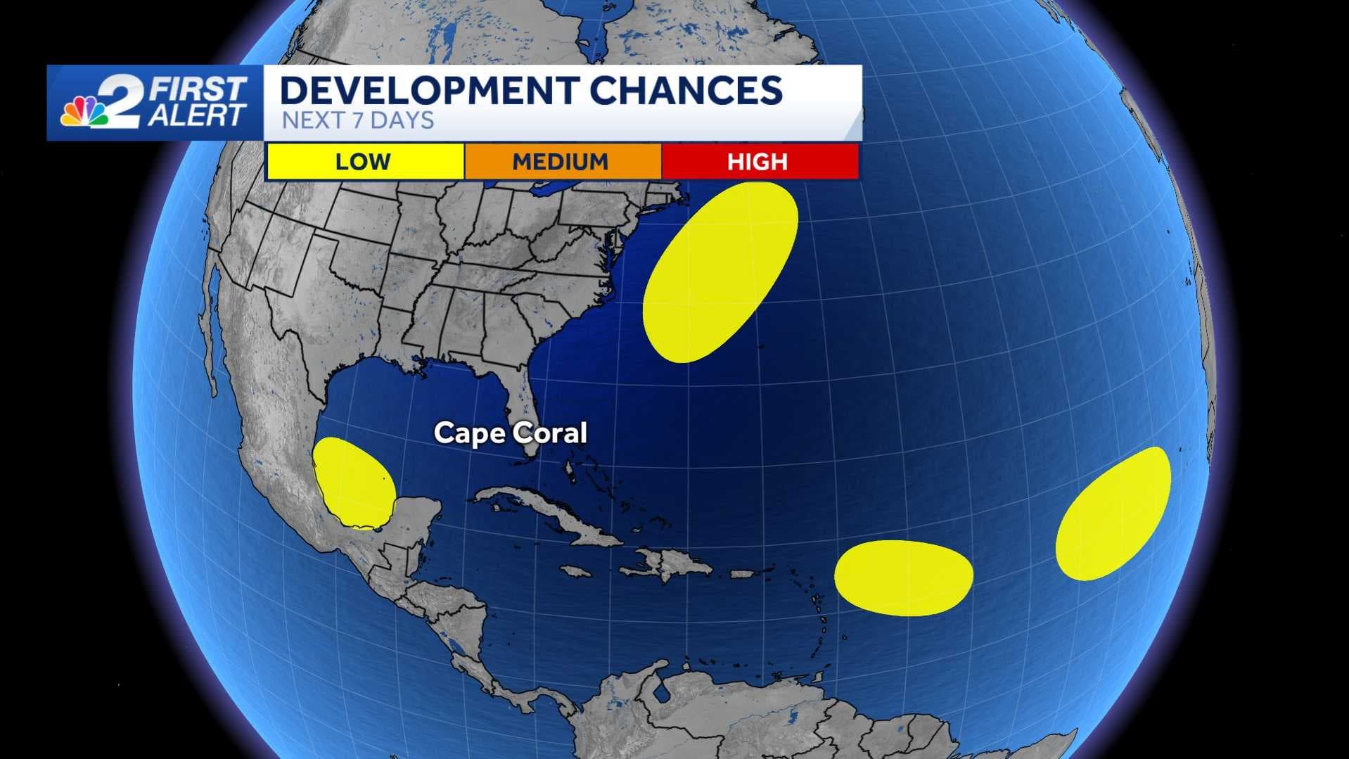
The NBC2 First Alert Hurricane Tracking Team is monitoring four areas of disturbed weather for potential tropical development this week.
Thankfully despite the number of areas being watched, none pose a direct threat to our local community for now.
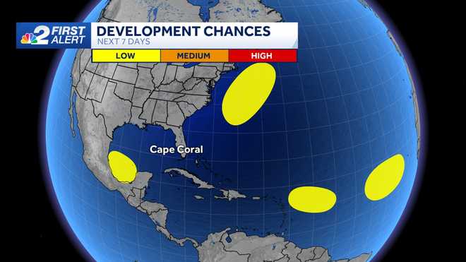
Area to monitor #1: Caribbean Sea tropical wave
The area closest to the U.S. out of the four areas of interest is a tropical wave moving quickly through the northwestern Caribbean. As it tracks west at 20 mph, it's producing disorganized thunderstorms over Cuba and Jamaica.
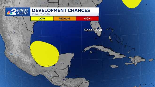
The good news is the disturbance has shown few signs of organization, though some slow development may be possible over the next week.
The National Hurricane Center is putting the odds of development near zero over the next two days and at 30% over the next 7 days as it tracks toward the southwestern Gulf of Mexico.
Some forecast computer models suggest the tropical wave could end up developing into a tropical system over the western Caribbean or southern Gulf of Mexico. Water temperatures are very warm in this part of the Atlantic basin, so we'll keep tracking its progress throughout the week
Areas to monitor #2 and #3: The central and eastern tropical Atlantic
The second area we are monitoring is in the central tropical Atlantic where a tropical wave halfway about 800 miles east of the Lesser Antilles is producing disorganized thunderstorms. Odds of development remain low as of last check with the National Hurricane Center suggesting the wave has a zero percent chance over the next two days and 10 percent over the next week.
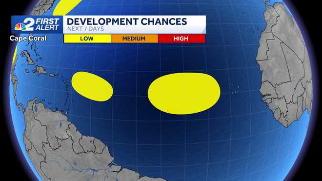
The third area we are monitoring is in the eastern Atlantic for a tropical wave that emerged off the coast of Africa. Chances for development are 10 percent over the next two days and 20% over the next week. This region is the farthest from the U.S. out of the three areas to watch.
We're just now approaching the peak point in the Atlantic hurricane season so be sure to stay plugged in with the latest forecast updates. We'll have the latest on NBC2 News.
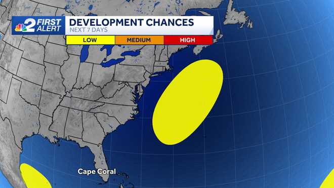
Areas to monitor #4: Off the Mid-Atlantic Coast
A non-tropical weather disturbance off the North Carolina coast will be watched for the next few days as it moves off the eastern US coastline.
Any development here would not have a direct impact on Southwest Florida.
Though the hurricane season has been in a remarkable lull for this time of year, there's no guarantees the remaining months of the season will be as quiet. If and when the tropics become more active, we'll be sure to keep you updated on all of the platforms of NBC2 News.
Follow the NBC2 weather team on social media
- Chief Meteorologist Allyson Rae on Facebook and X
- Meteorologist Jason Dunning on Facebook and X
- Meteorologist Rob Duns on Facebook and X
- Meteorologist Lauren Hope on Facebook and X
Watch our forecasts on TV or online
- Here's where to find our latest video forecast
- You can also watch a livestream of our latest newscast here
DOWNLOAD
the free
NBC2 News app
for your latest news and weather alerts.