
The NBC2 First Alert Hurricane Tracking team is monitoring two features in the tropics this weekend.
As of 5 a.m. Sunday, Potential Tropical Cyclone 8 is just off the Southeastern U.S. coast.
While the system is producing tropical storm force winds, it lacks a defined center of circulation required for the system to become a tropical or subtropical storm. This is expected to become Tropical Storm Helene before making landfall in South Carolina on Monday.
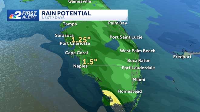
The system is expected to bring heavy rains and coastal flooding to portions of the Carolinas today and Tuesday.
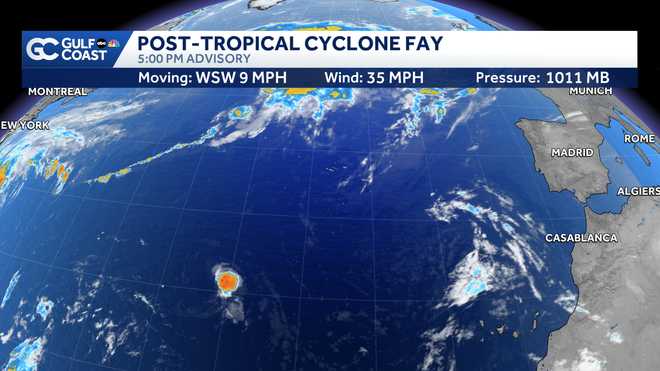
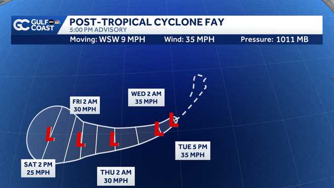
The other tropical disturbance we have been watching is no longer of tropical storm strength.
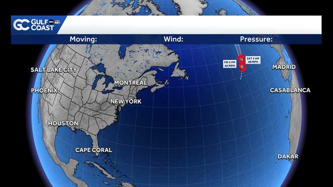
Gordon has weakened back into a tropical depression over the open water of the Atlantic Ocean.
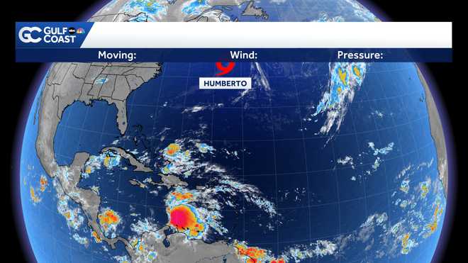
Max sustained winds of the system are now at 30 mph. Gordon is moving slowly west at 8mph. While some restrengthening is possible, it is not a threat to land.
There are no other areas being watched for development at this time, but one area we'll watch for potential development over the next couple of weeks is the western Caribbean.
Follow the NBC2 weather team on social media
- Chief Meteorologist Allyson Rae on Facebook and X
- Meteorologist Jason Dunning on Facebook and X
- Meteorologist Rob Duns on Facebook and X
- Meteorologist Lauren Hope on Facebook and X
Watch our forecasts on TV or online
- Here's where to find our latest video forecast
- You can also watch a livestream of our latest newscast here
DOWNLOAD the free NBC2 News app for your latest news and weather alerts.