If you've spent much time on social media this week, you've probably seen at least a few posts from accounts you follow sharing a single computer forecast model depiction of a tropical system in the Gulf of Mexico.
Understandably, these attention-grabbing posts naturally encourage you to comment on them, react with the "wow" emoji face on Facebook and share them so other people in your social media circle also see what you are at the moment.
Though one could argue it's good to share single computer forecast models online to raise people's awareness that a storm system could be developing, you could also argue it's not helpful in increasing the public's understanding of how tropical weather forecasting works.
One of the reasons why is that it can be difficult to understand why forecast models vary when running at the same time and why the same forecast model's output can be radically different, even just a few hours later.
Why do forecast models vary so much, and why do they change, sometimes by a large degree, every few hours?
Beyond accepting the fact that no weather forecast model will ever be perfect and the atmosphere is constantly evolving, specifically with tropical events, it's hard for forecast models to give you an accurate idea of where a tropical system will be days ahead of time when nothing is present at the moment.
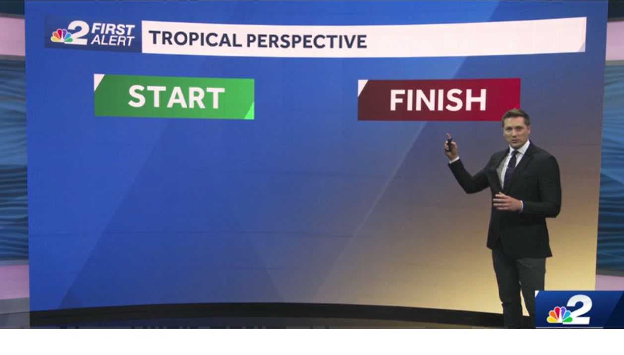
Consider for a moment how a 5K race works. Everyone knows where the race's start line is, the path the runners will take and where the finish line is.
With a tropical weather forecast, it's impossible to tell where a storm will finish if you don't know the path it will take. And you can't accurately tell the path a storm will take if you don't know where it starts.
Since, right now, there isn't even much in the way of rain over the northwest Caribbean Sea where this possible tropical system is expected to eventually develop, no forecast model has the right idea of where the start line is.
DOWNLOAD the free NBC2 News app for your latest news and weather alerts.
The start line we're missing right now may not become apparent until next week. That's because it may not be until the middle of next week when the pressure in the atmosphere starts to lower, and a system begins to spin.
Until we know where the start line will be forecast models will do their best at trying to peg it on their own, plot possible paths and guesstimate on any system may eventually track.
While they do that, it's best to instead of focusing on models, spend more time looking at outlooks intentionally constructed that take context into account when they're drawn.
Content like the image below from the National Hurricane Center that show in an easy-to-understand way where to watch and the likelihood of development offer a more realistic idea of what may happen in the future.
As always, our team at NBC2 will keep you updated all season long.