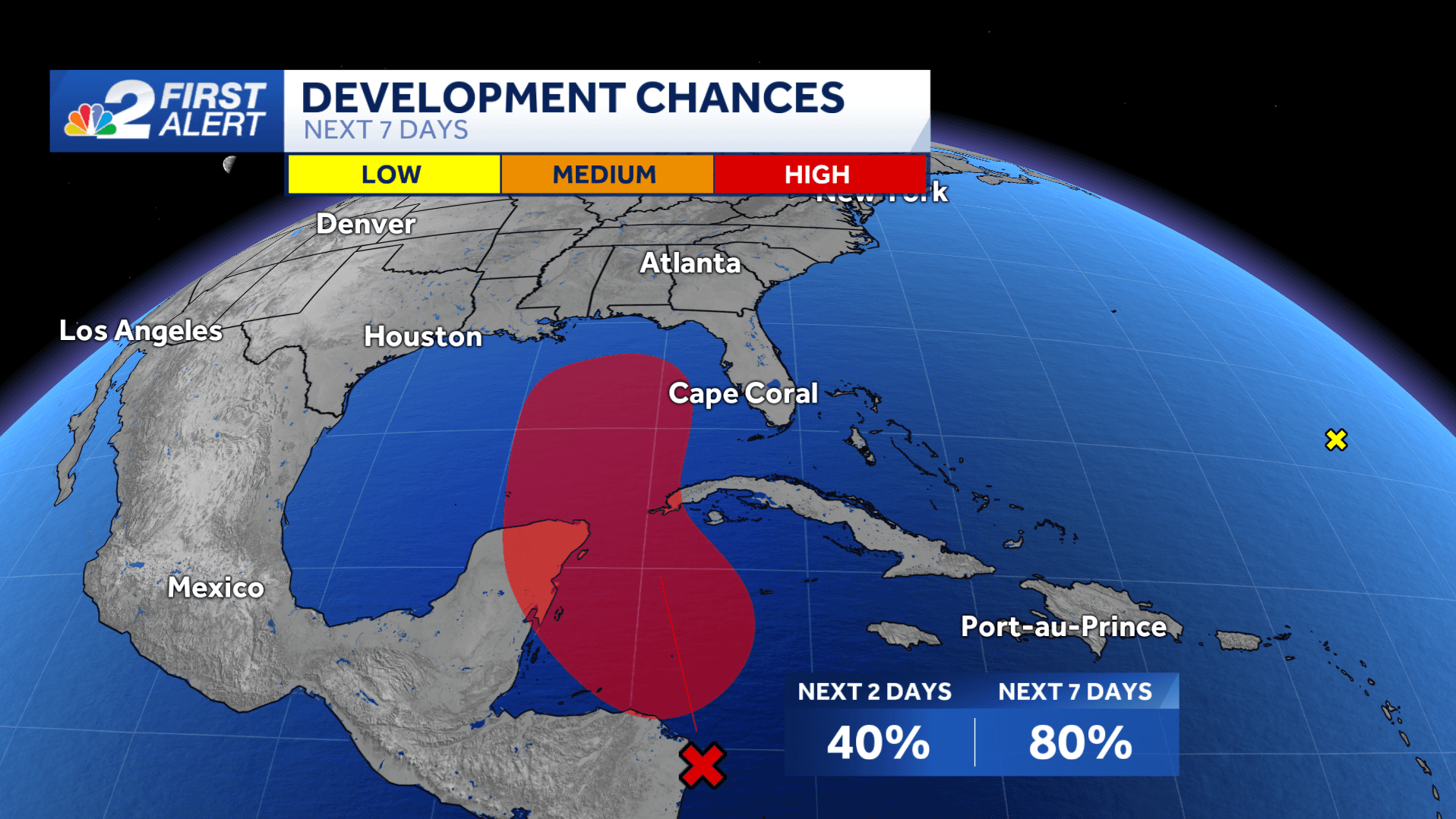
The NBC2 First Alert Hurricane Tracking team is monitoring an area of low pressure, recently designated as Invest 97L, in the northwest Caribbean Sea for the possibility of tropical development within the week.
In the image below, the area shaded in with red is the region to monitor.
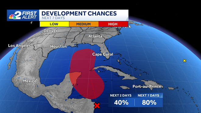
Development odds in this area, as of Sunday afternoon, are now at 80% over the next 7 days but remain at 40% in the next 2 days.
Invest 97L, is creating an area of showers and storms off of Nicaragua. It's looking likely that a tropical depression will be forming over the western Caribbean within the week and most likely tracking north into the Gulf of Mexico.
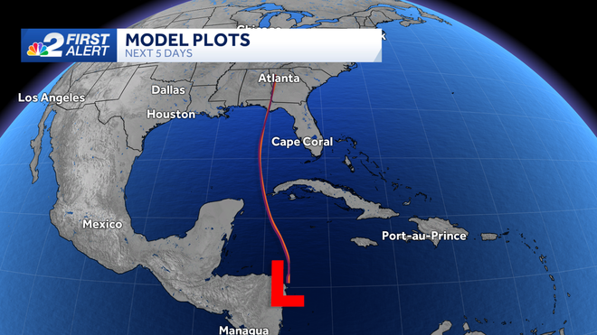
Once it enters the Gulf, it will have the chance to gradually intensify over warm waters. We have the chance of tracking Tropical Storm Helene at this point. Most models are agreeing on a northerly path across the Gulf, and eventually making an eastern turn by late week.
The western Caribbean is a place we commonly need to to watch closely from late September through October.
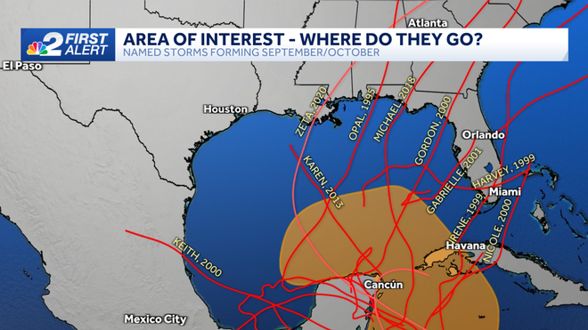
Historically, this part of the world is a hot spot for development during this stretch of the season thanks in part to weather feature called the Central American Gyre.
The gyre is a very broad, lumbering area of lower pressure in the atmosphere that tends to form in Central America during this time of the year.
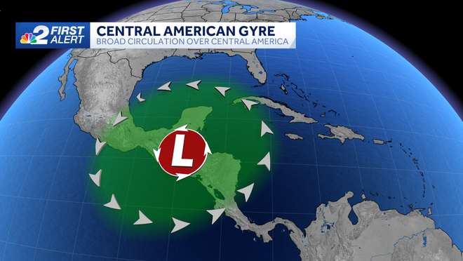
On occasion, this broad area of low pressure can spin up storms that evolve into tropical systems.
We usually think of September as the statistical peak of hurricane season in the Atlantic basin, but there's also a secondary peak from late September through early October. This is when storms can form in the Caribbean and get scooped north by dips in the jet stream.
In fact, South Florida has been hit by more tropical systems in the month of October than any other month, though these storms are typically not quite as strong as those in August and September.
Hurricane Wilma was one of those late-season October storms, which made landfall in Southwest Florida on October 24, 2005 as a category 3 storm.
Based on tropical climatology, which looks back at the history of every hurricane season on record, the northwestern Caribbean and western Atlantic tend to be the hot spots for tropical development from late September into October.
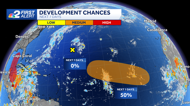
A tropical wave is forecast to move off of the African coast over the next couple days. A tropical depression is possible to form in the middle to back half of the week as it tracks into the central tropical Atlantic. It is not a threat to the U.S.
We'll keep you updated on NBC2 News.