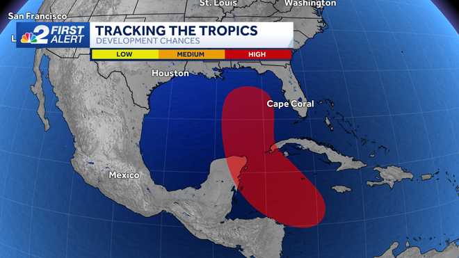
Chances for development have increased again for an area of disturbed weather in the northwest Caribbean Sea. The system is set to take aim at Florida's Gulf Coast by Thursday but it's too soon to determine the specific track or intensity.
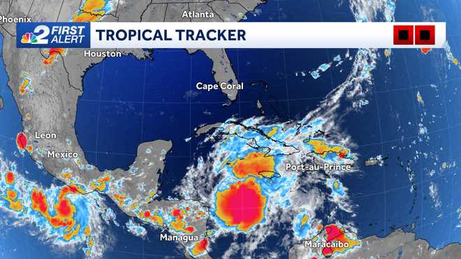
The disturbance was dubbed "Invest 97L" on Sunday by the National Hurricane Center.
Invest areas are not organized storm systems. Instead, the term is short for an "area of invest igation" as declared by the National Hurricane Center.
The designation allows tropical weather-specific forecast models to be run on the disturbance, which helps to identify the likelihood of something forming and potential tracks.
As of Monday morning, the development odds of the feature highlighted in red are being pegged at 90% over the next 7 days and at 80% over the next two.
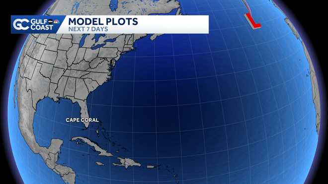
The initial run of forecast models shows general consistency of the system pushing northward this week.
Once the system enters the Gulf, it will have a chance to intensify over warm waters.
If and when the disturbance strengthens into a tropical storm or hurricane, Helene is the next name on this year's naming list.
Though it is too early to nail down specific impacts to our local area, the farther east a storm makes landfall, impacts would be greater. If a storm makes landfall farther west along Florida's Gulf Coast, impacts in southwest Florida would be decreased. Continue to frequently check back into the forecast over the coming days as the big impact day when the system would make it's closest path to southwest Florida as it tracks north would be Thursday.
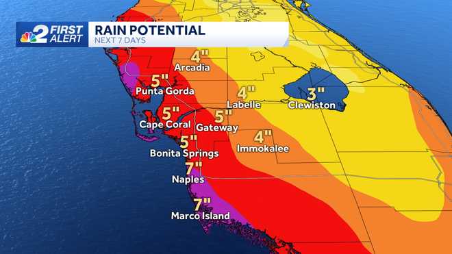
Current rainfall projections indicate upwards of 6"+ of rain possible in our community west of Interstate 75 within the next week.
This storm system we're monitoring is something common this time of year. The western Caribbean is a place we commonly need to to watch closely from late September through October.
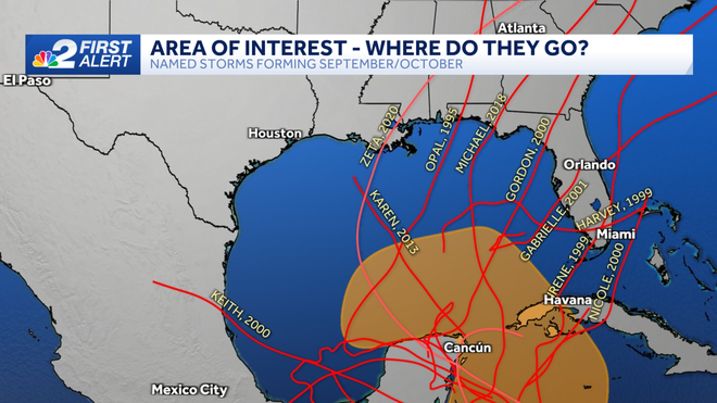
Historically, this part of the world is a hot spot for development during this stretch of the season thanks in part to weather feature called the Central American Gyre.
The gyre is a very broad, lumbering area of lower pressure in the atmosphere that tends to form in Central America during this time of the year.
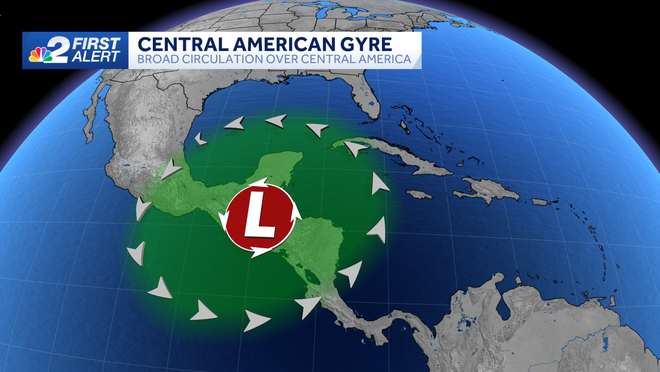
On occasion, this broad area of low pressure can spin up storms that evolve into tropical systems.
We usually think of September as the statistical peak of hurricane season in the Atlantic basin, but there's also a secondary peak from late September through early October. This is when storms can form in the Caribbean and get scooped north by dips in the jet stream.
In fact, South Florida has been hit by more tropical systems in the month of October than any other month, though these storms are typically not quite as strong as those in August and September.
Hurricane Wilma was one of those late-season October storms, which made landfall in Southwest Florida on October 24, 2005 as a category 3 storm.
Based on tropical climatology, which looks back at the history of every hurricane season on record, the northwestern Caribbean and western Atlantic tend to be the hot spots for tropical development from late September into October.
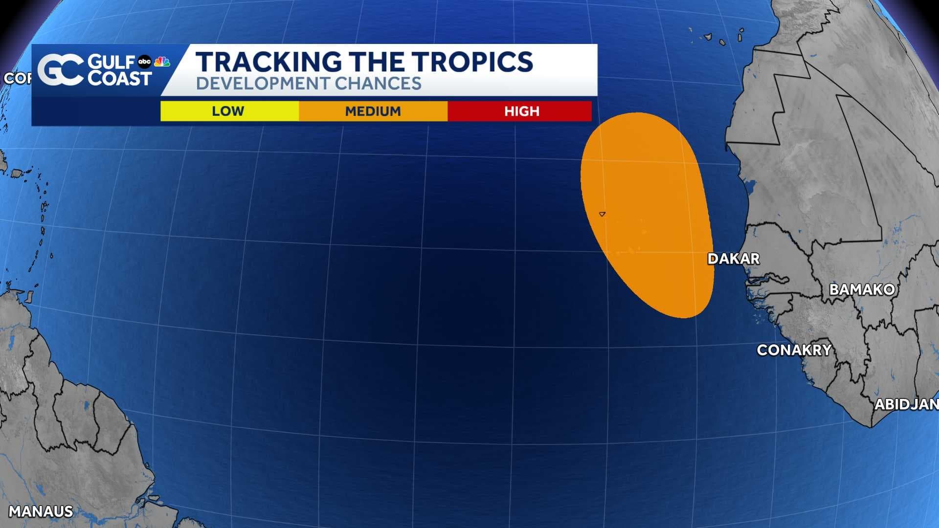
Elsewhere in the tropics, we're also keeping tabs on a tropical wave off the west coast of Africa.
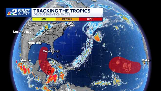
For now, development odds are being pegged at 70% over the next 7 days.
We'll keep you updated on NBC2 News.