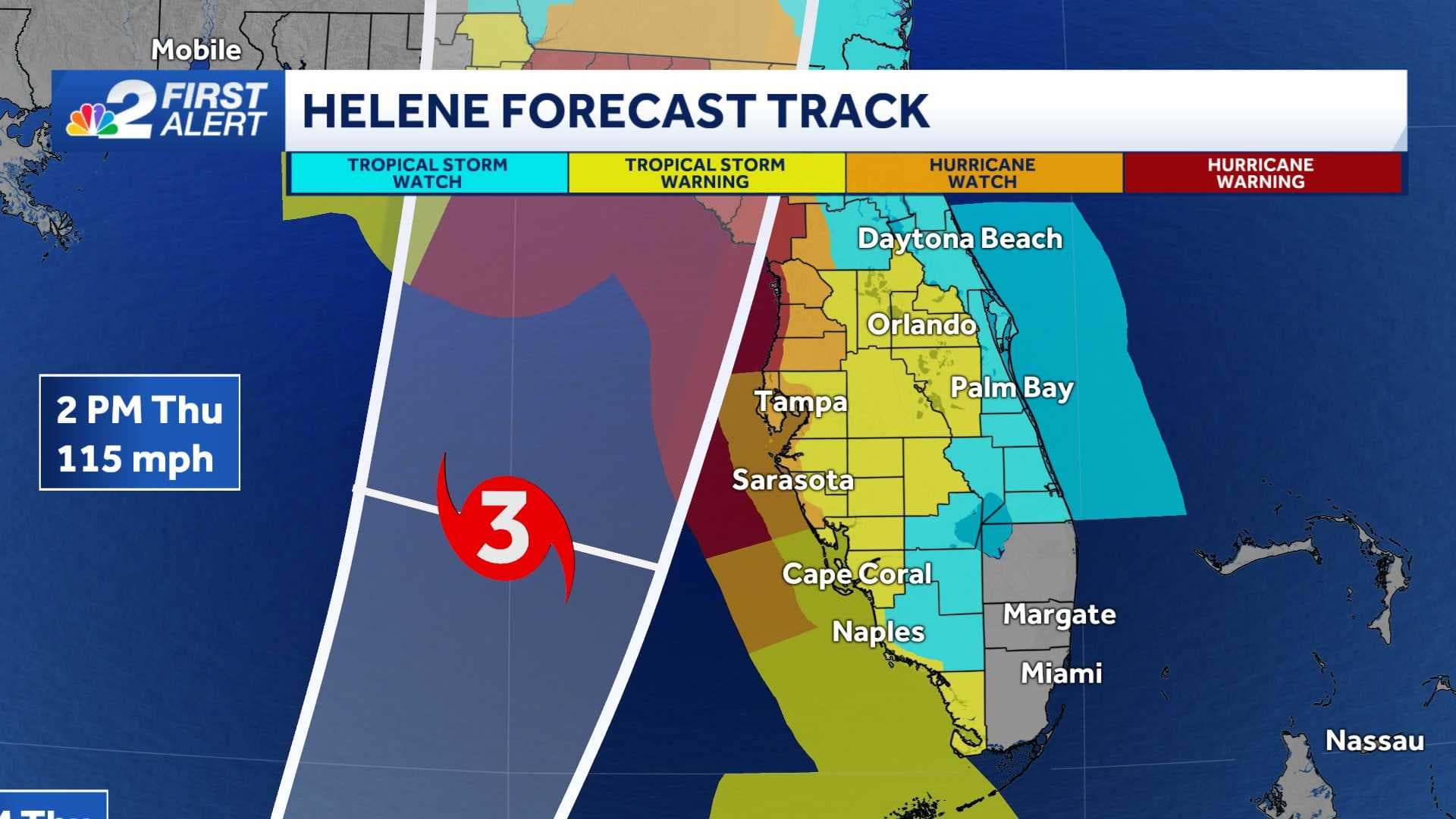
The NBC2 First Alert Hurricane Tracking team is monitoring Tropical Storm Helene which is forecast to bring impacts to our community as early as tomorrow.
As of 5 p.m. Tuesday, Helene has winds sustained of 50 mph with a forward movement toward the WNW at 12 mph.
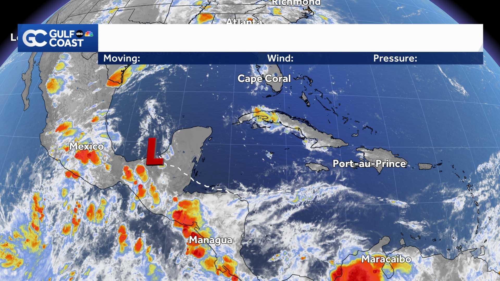
As of Monday evening, the system was centered approximately 150 miles south of Cuba's western tip.
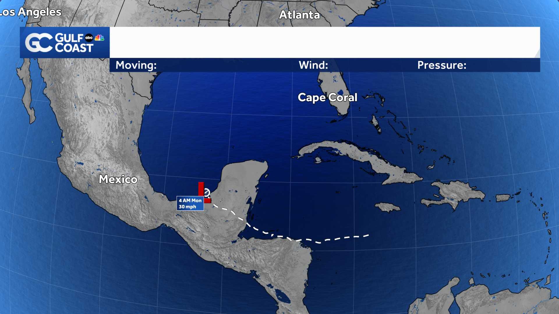
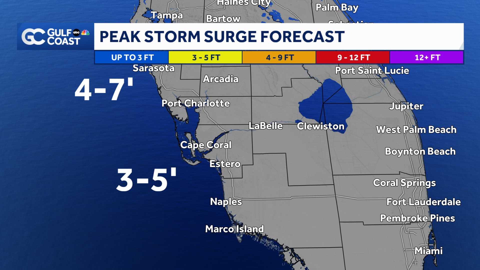
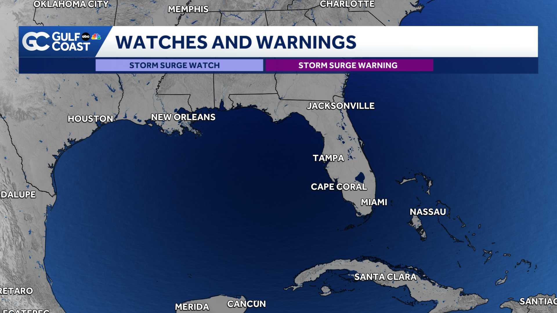
The biggest change with the 5 p.m. advisory was that the storm surge watches in our community have been upgraded to storm surge warnings.
A storm surge warning means that life-threatening levels of storm surge are possible in the advised area within the next 36 hours.
For coastal Collier, 2-4 feet of storm surge is possible. For Lee and Charlotte counties, 3-5 feet of storm surge is expected along the coast.
Because of the risk of storm surge, evacuations orders have been issued on Charlotte County's barrier islands.
If you live in an area prone to storm surge flooding it would be advised you find a safe place to be away from the immediate coastline on Thursday.
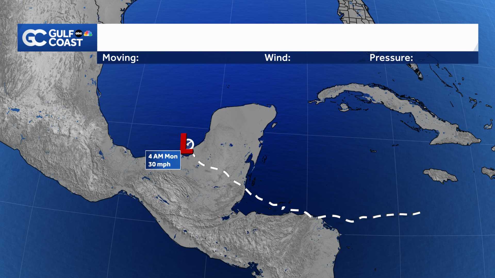
The forecast cone released on this system shown above, indicates the system becoming as strong as a Category 3 hurricane when off the Southwest Florida coast on Thursday.
After that, the storm is likely to remain a major hurricane as its center moves toward the northeast Gulf of Mexico. It is still expected to become a major hurricane at landfall, sometime Thursday afternoon or evening.
Download the free NBC2 News app for the latest weather alerts.
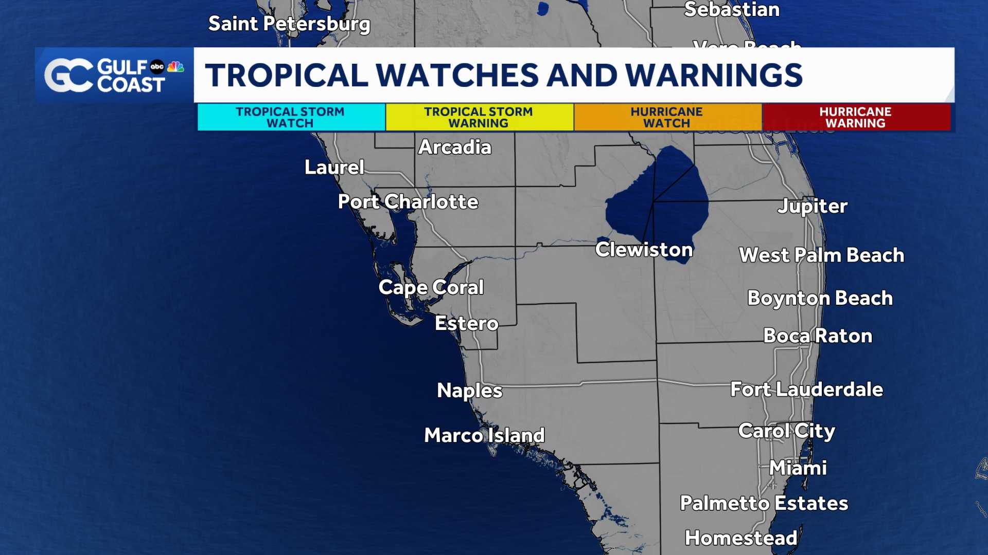
A tropical storm warning is active for Southwest Florida's coastal areas. This means tropical storm-force winds will be expected within the next 36 hours.
The wind threat to our area will increase the farther east the storm tracks and decrease the farther west the storm tracks.
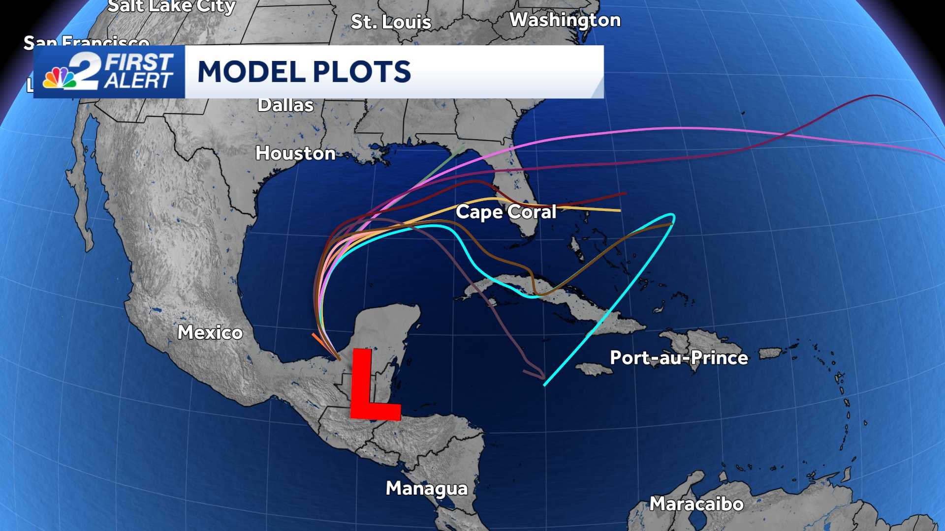
Computer forecast models are showing the most likely scenario being that the storm would track toward Florida's Big Bend or Panhandle, but this is subject to change as the storm evolves.
Times of gusty thunderstorms along rain bands are likely to start as early as late Wednesday and then persisting through Thursday when the most impactful weather would be in our area.
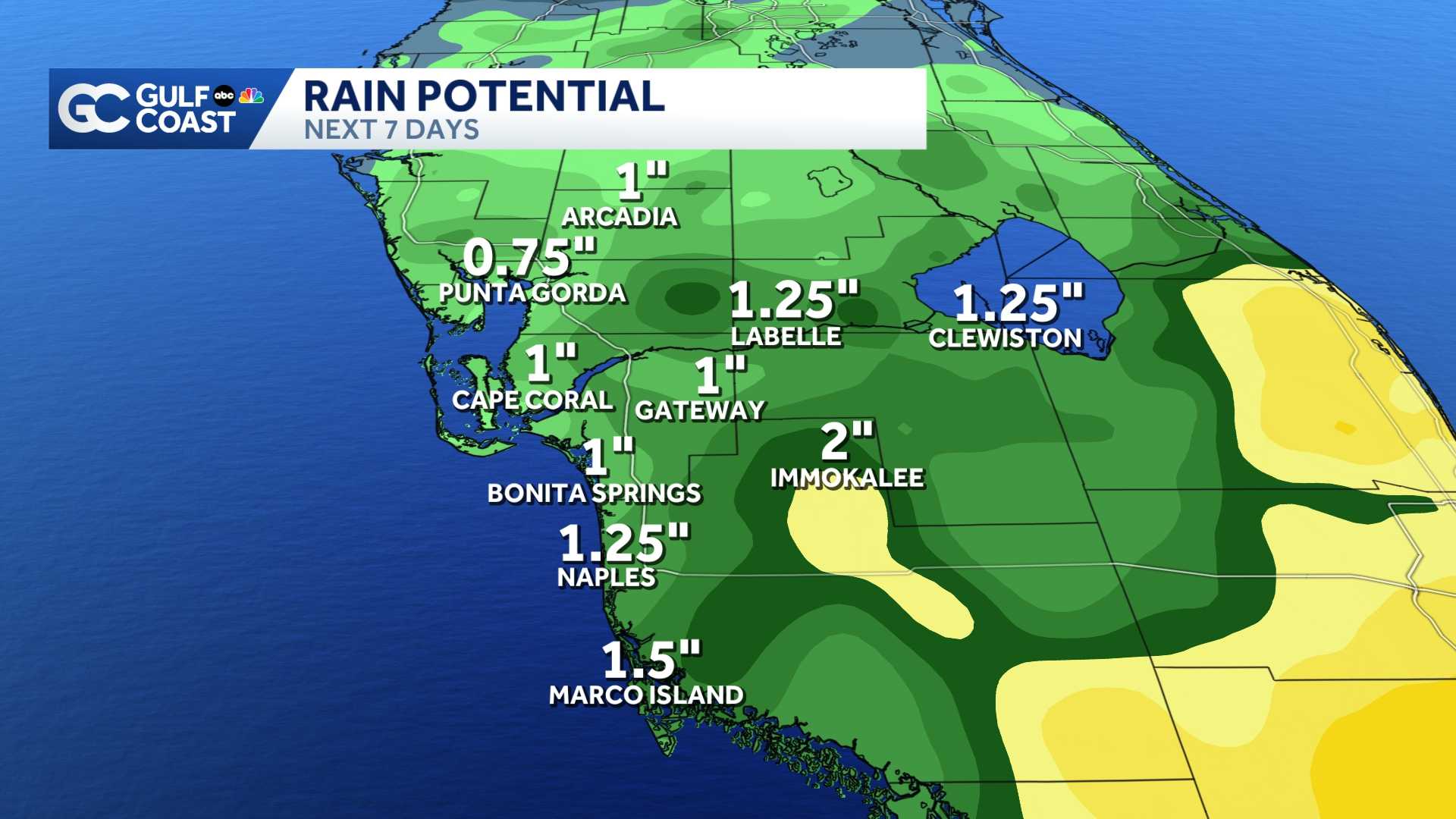
Given the current data, there is the potential of rainfall totals to range from 3 to 6" in areas of western Collier, western Lee and western Charlotte Counties. Keep in mind our region is particularly vulnerable to flooding coming off our wettest summer on record, running 15 inches above average for the year so far.
Storm surge will also be a concern, primarily on Thursday when winds around the hurricane are likely to be onshore in our community.
Elsewhere in the tropics, we're also keeping tabs on a tropical wave off the west coast of Africa.
School officials in Charlotte County announced Tuesday that school will be closed due to the expected arrival of Helene late this week.
"In response to the approaching Tropical Storm Helene, Charlotte County Public Schools will be closed on Thursday, September 26, and Friday, September 27 , to ensure the safety of students and staff. This decision has been made in coordination with local emergency management officials and is part of the district’s commitment to safeguarding the community," the district said in a statement.
Sandbags are also being made available across much of Southwest Florida. A full list of sandbag locations can be found here .
Download the free NBC2 News app for the latest weather alerts.
Follow the NBC2 weather team on social media
- Chief Meteorologist Allyson Rae on Facebook and X
- Meteorologist Jason Dunning on Facebook and X
- Meteorologist Rob Duns on Facebook and X
- Meteorologist Lauren Hope on Facebook and X
- Meteorologist Jesslyn Ferentz on Facebook and X
- Meteorologist Sami Squires on Facebook and X
Watch our forecasts on TV or online
- Here's where to find our latest video forecast
- You can also watch a livestream of our latest newscast here
DOWNLOAD the free NBC2 News app for your latest news and weather alerts.