
As of 8 a.m. Tuesday, Potential Tropical Cyclone Nine has winds sustained at 35 mph and is expected to become a tropical storm today.
The system is moving north at 9 mph, located 205 south-southeast of the western tip of Cuba.
The term potential tropical cyclone refers to a developing storm system that is not organized enough to be considered a tropical depression, tropical storm or hurricane but is forecast to impact land as such within the next 48 hours.
When a system is considered to be a potential tropical cyclone the National Hurricane Center releases updated forecast cones every few hours.
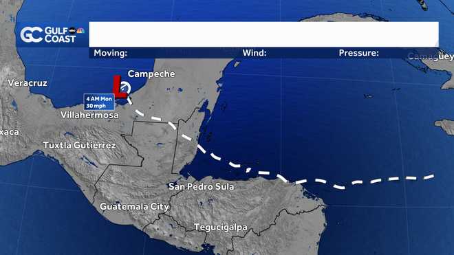
The forecast cone released on this system shown above, indicates the system becoming as strong as a Category 2 hurricane when off the Southwest Florida coast on Thursday.
After that, the storm is likely to become a Category 3 as its center moves toward the northeast Gulf of Mexico. It is still expected to become a major hurricane at landfall, sometime Thursday afternoon or evening.
Download the free NBC2 News app for the latest weather alerts.
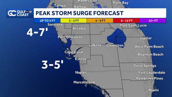
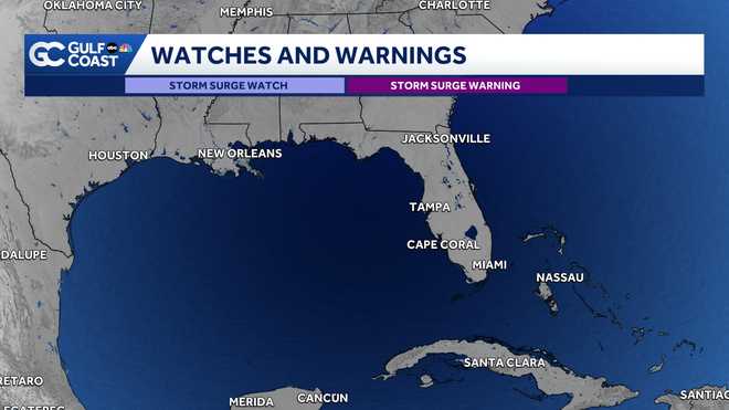
All of southwest Florida's coast is under a Storm Surge Watch. For coastal Collier, 2-4 feet of storm surge is expected. For Lee and Charlotte counties, 3-5 feet of storm surge is expected along the coast.
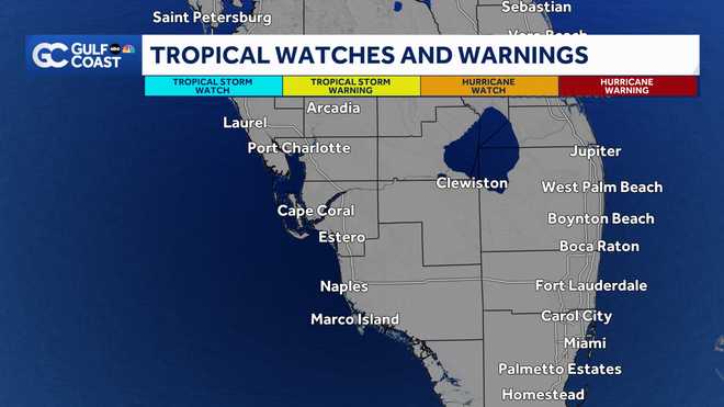
Tropical Storm Watches are in place for all of outhwest Florida's coastline as well. This means tropical storm-force winds will be possible. The wind threat to our area will increase the farther east the storm tracks and decrease the farther west the storm tracks.
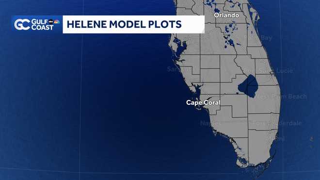
Computer forecast models are showing the most likely scenario being that the storm would track toward Florida's Big Bend or Panhandle, but this is subject to change as the storm evolves.
Though it is too early to nail down specific impacts to our local area, it does look increasingly likely that our community will be in line for times of gusty thunderstorms along rain bands starting as early as late Wednesday and then persisting through Thursday.
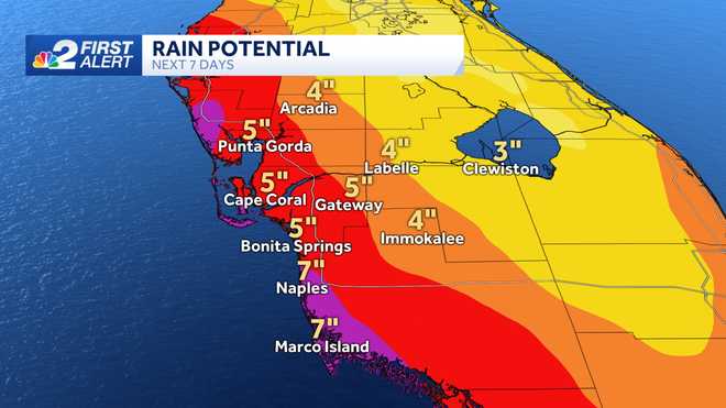
Given the current data, there is the potential of rainfall totals to range from 3 to 7" in areas of western Collier, western Lee and western Charlotte Counties. Keep in mind our region is particularly vulnerable to flooding coming off our wettest summer on record, running 15 inches above average for the year so far.
Storm surge will also be a concern, primarily on Thursday when winds around the hurricane are likely to be onshore in our community.
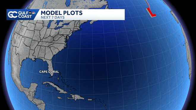
Elsewhere in the tropics, we're also keeping tabs on a tropical wave off the west coast of Africa.
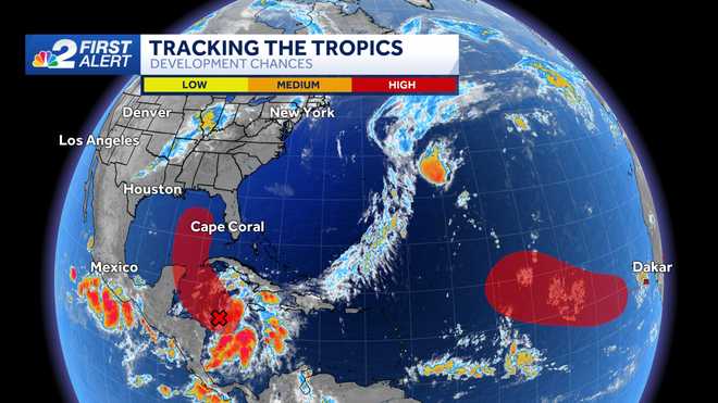
For now, development odds are being pegged at 70% over the next 7 days.
Download the free NBC2 News app for the latest weather alerts.
Follow the NBC2 weather team on social media
- Chief Meteorologist Allyson Rae on Facebook and X
- Meteorologist Jason Dunning on Facebook and X
- Meteorologist Rob Duns on Facebook and X
- Meteorologist Lauren Hope on Facebook and X
- Meteorologist Jesslyn Ferentz on Facebook and X
- Meteorologist Sami Squires on Facebook and X
Watch our forecasts on TV or online
- Here's where to find our latest video forecast
- You can also watch a livestream of our latest newscast here
DOWNLOAD the free NBC2 News app for your latest news and weather alerts.