The NBC2 First Alert Hurricane Tracking team is monitoring several tropical features including two named storm systems, Hurricane Kirk and Tropical Storm Leslie.
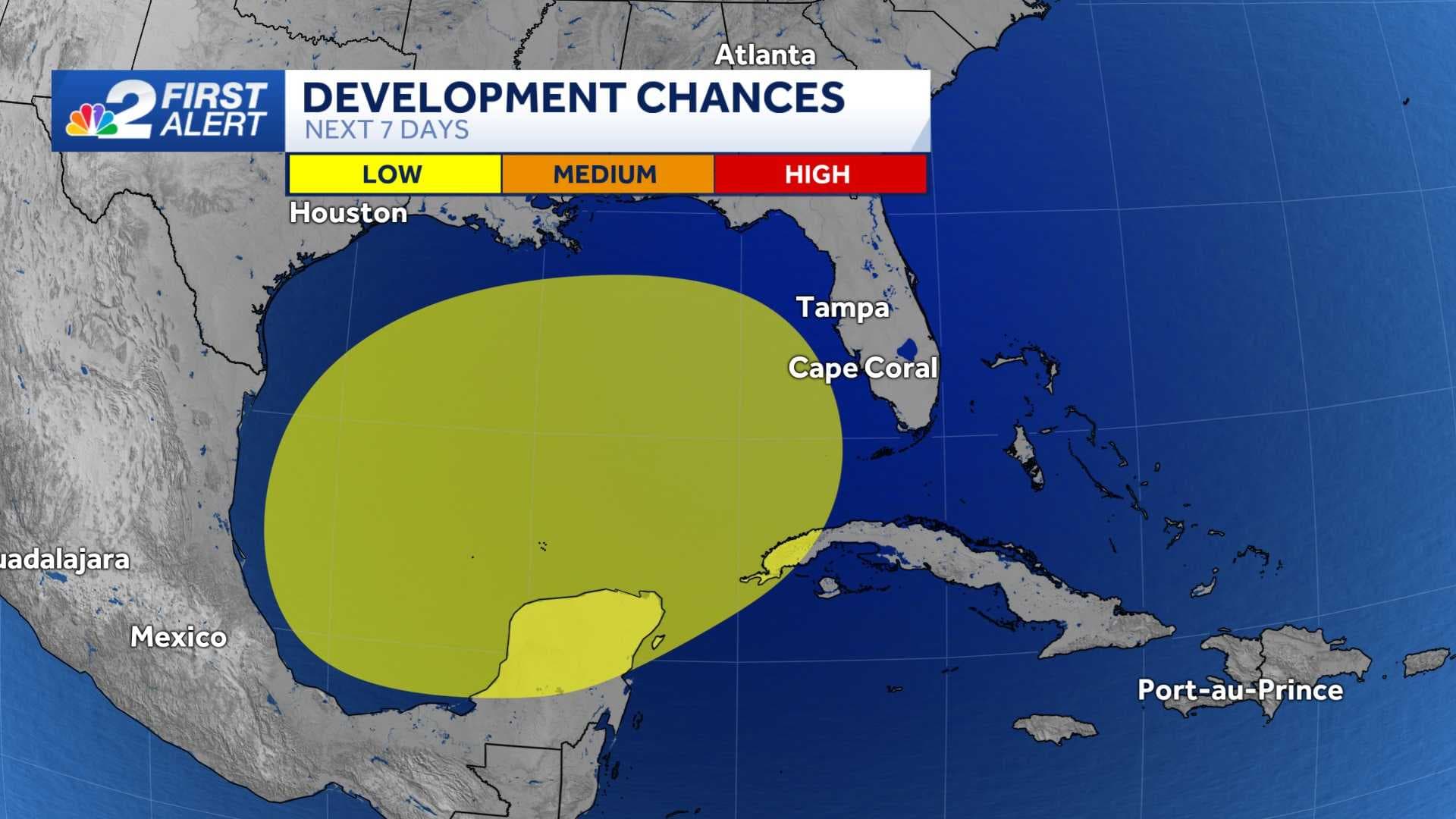
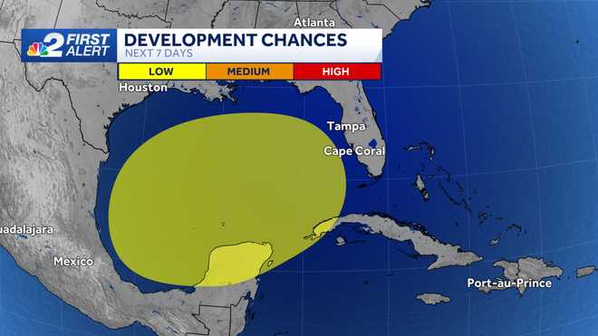
Chances for tropical development for disorganized showers and storms in the Gulf have decreased to only 30 percent over the next seven days but impacts are still expected in SWFL regardless of development.
Higher rain chances will begin Sunday and linger through the middle of next week. Though a strong system is unlikely at this point, a tropical depression may still form in the region shaded in yellow.
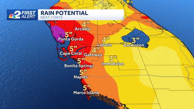
Forecast data suggests over the course of the next week many parts of our area will see between 3 and 7" of rain. It's important to stress that these rainfall figures are over the next seven days and subject to change as conditions evolve.
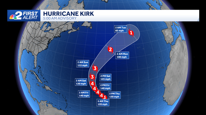
Outside of the area we're watching over the Gulf of Mexico there are two named systems in the eastern Atlantic Ocean. The strongest of the systems is Hurricane Kirk which is a major hurricane, expected to further intensify into a category 4 storm Thursday.
Kirk is tracking west-northwestward across the open Atlantic Ocean and poses no threat to land.
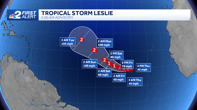
Tropical Storm Leslie is located just east of Kirk and also poses no threat to land. Leslie is expected to track west and pull north heading into next week over the open Atlantic.
Count on the NBC2 First Alert Hurricane Team to keep you updated on any potential tropical threats.
Download the free NBC2 News app for the latest weather alerts.
Follow the NBC2 weather team on social media
- Chief Meteorologist Allyson Rae on Facebook and X
- Meteorologist Jason Dunning on Facebook and X
- Meteorologist Rob Duns on Facebook and X
- Meteorologist Lauren Hope on Facebook and X
- Meteorologist Jesslyn Ferentz on Facebook and X
Watch our forecasts on TV or online
- Here's where to find our latest video forecast
- You can also watch a livestream of our latest newscast here
DOWNLOAD the free NBC2 News app for your latest news and weather alerts.