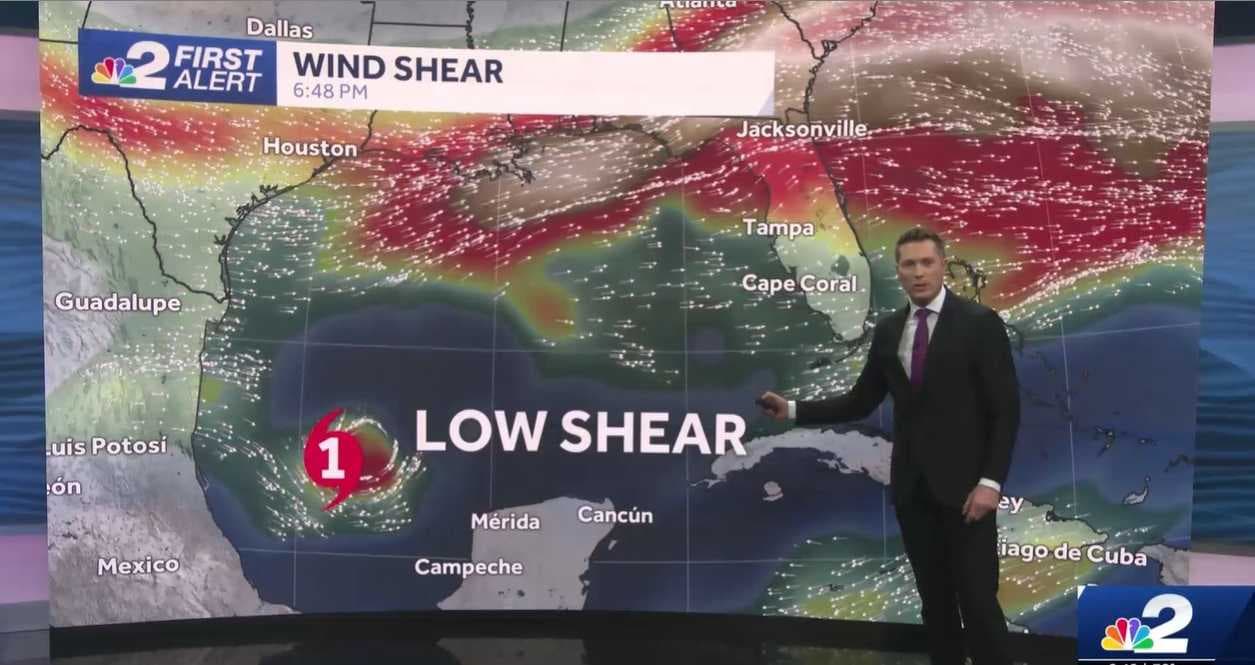
Whenever a hurricane forms, one of the most important aspects to consider is what the steering currents around the storm look like.
This is because, despite the intense winds a hurricane generates, they are not the winds that push it across the ocean. Instead, hurricanes, in a sense, have to be "told" where to go by winds around them, especially in the upper parts of our atmosphere.
You can think about this concept by picturing how a toy spinning top works.
When a kid spins a top, the toy rapidly rotates. More often than not, though, it rotates in the same place, quickly swirling in a stationary position until it runs out of energy and falls.
But, if a kid spins a top and then gently pushes it or takes a deep breath and blows on it, the spinning top will move. This is the effect that steering winds in our atmosphere can have on a rapidly spinning hurricane.
DOWNLOAD the free NBC2 News app for the latest weather news and alerts.
In the case of Hurricane Milton, the storm is set to intensify in the southern Gulf of Mexico because it is swirling in an area with low wind shear.
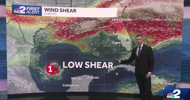
Wind shear refers to the change of wind speed and/or direction with height. Something important to know about it is that hurricanes hate it.
Stronger winds in the upper parts of the atmosphere make it tougher for a storm to become and remain vertically organized. It's only when wind shear is low that a storm can develop and get stronger.
So, as the strong wind shear stays north of Milton at least through Monday, it'll very slowly move toward the east.
Milton's forward motion is expected to increase on Tuesday and Wednesday because the steering currents will evolve, just like the storm.
Because of the arrival of a cold front in the northern Gulf, the steering current motion will be one to encourage Milton to both pick up speed and move in a more northeastward direction.
You can see that arriving cold front in the upper left-hand corner of the map below.
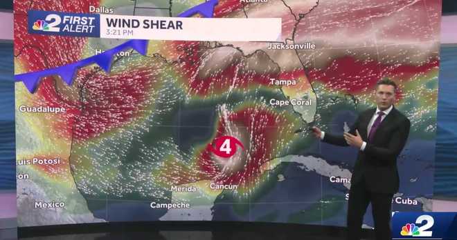
Something to watch in the next 48 hours is how far south this cold front will move. The farther south the front moves, the farther south Milton will track. On the flip side, the farther north the cold front stays, the farther north the storm will trend.
This is why it's important to monitor the National Hurricane Center forecast cones. They are revised each day at 5 a.m., 11 a.m., 5 p.m. and 11 p.m. Each update takes into consideration what the storm is doing, what the forecast models are suggesting and what the steering currents are up to as well.
We'll have the latest for you on NBC2 News.

