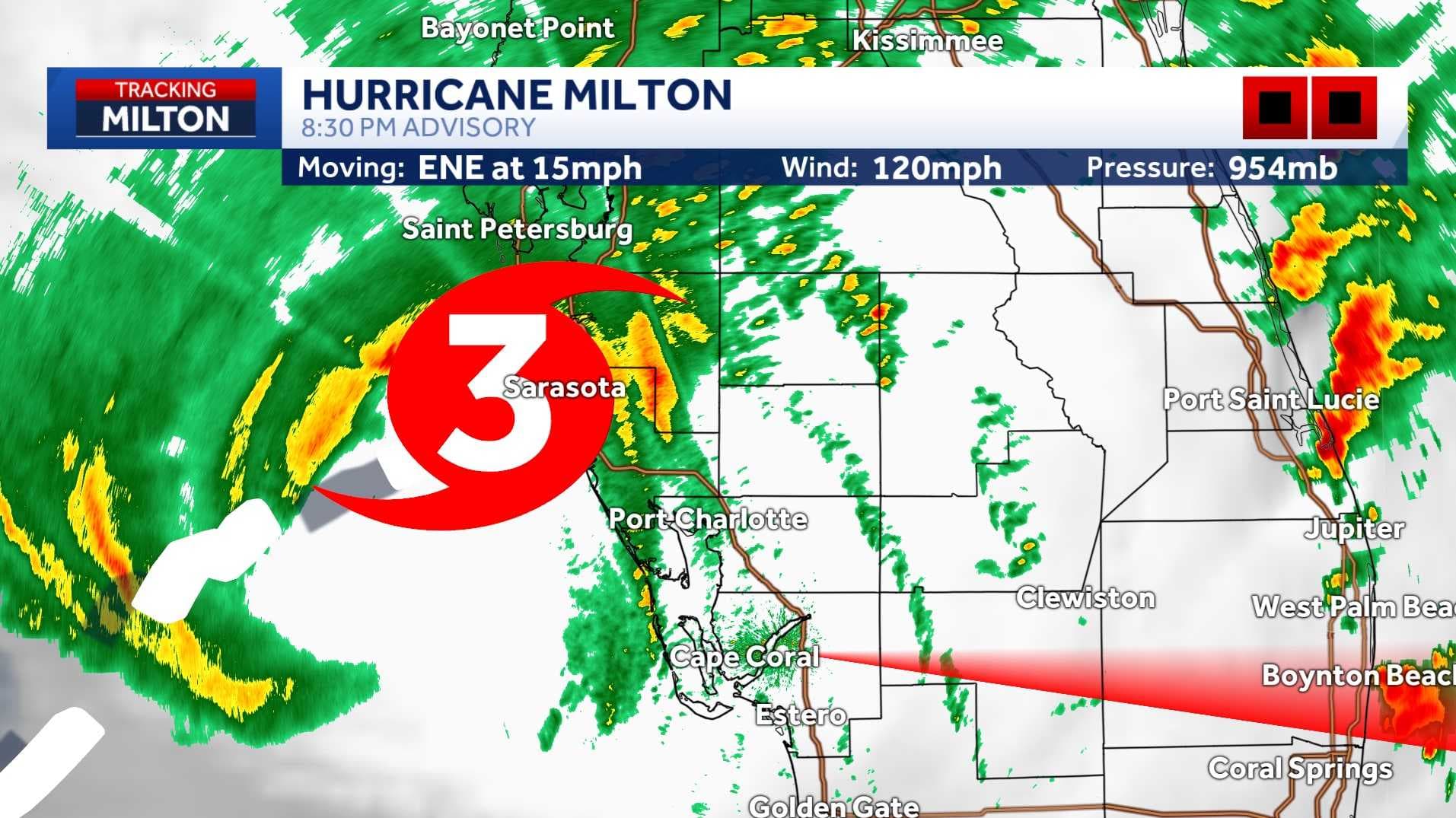
Hurricane Milton made landfall near Siesta Key, Florida on Wednesday, Oct. 9th at 8:30 p.m. as a Category 3 storm.
At landfall, the storm was producing maximum sustained winds of 120 mph while moving toward the northeast at 15 mph.
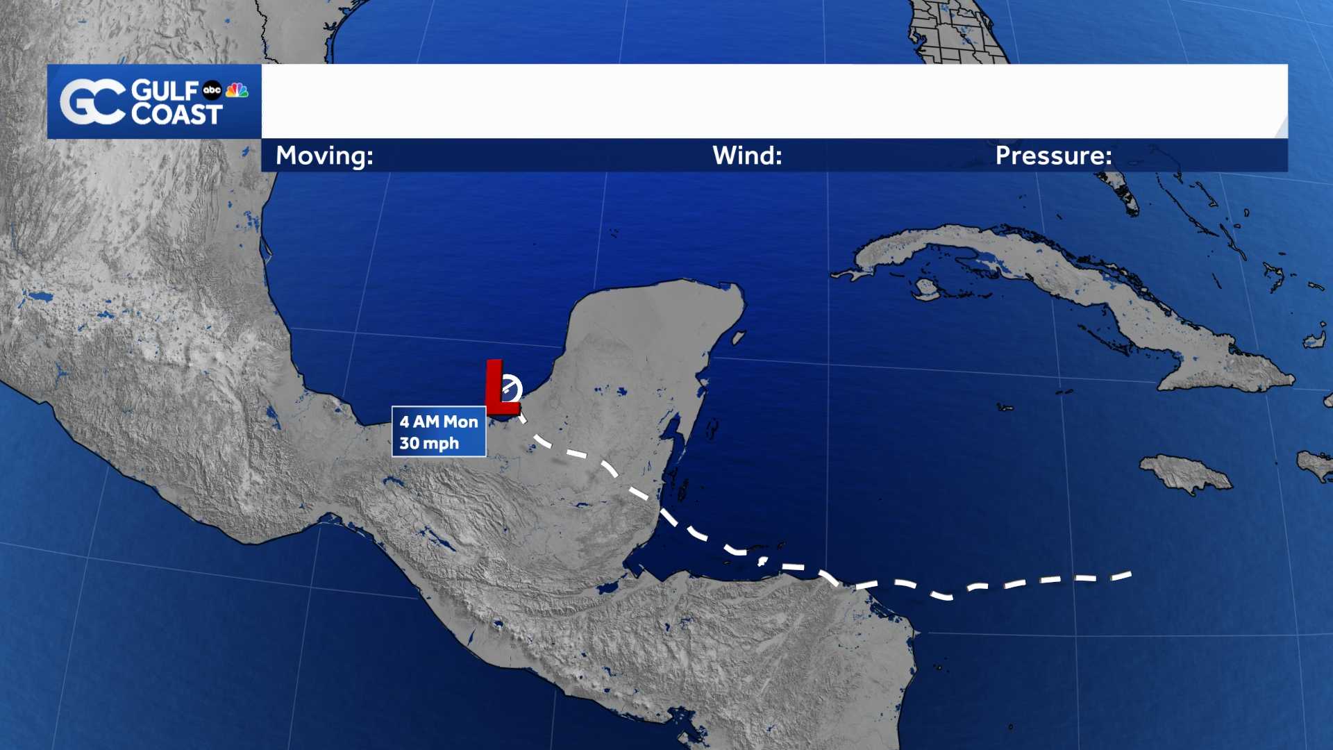
Milton's wind field greatly expanded before the storm's landfall this evening.
Rain bands ahead of the storm prompted at least five confirmed tornado touchdowns in Southwest Florida. Several Fort Myers neighborhoods have seen significant damage, as have neighborhoods across Lee County.
Watches and Warnings
Despite Milton's landfall the threats from the storm will continue through early Thursday.
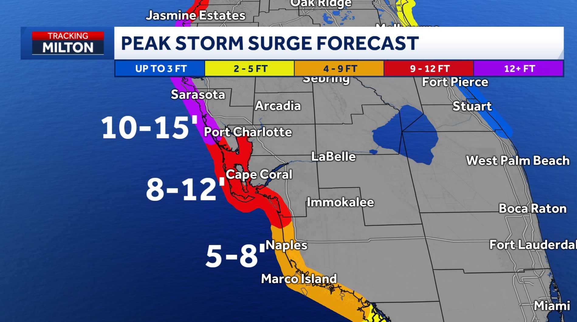
A storm surge warning remains active for coastal Southwest Florida. For coastal Lee and Charlotte counties where a peak storm surge of 8-12 feet is possible.
As of 5 p.m. Wednesday, NBC2 cameras on Fort Myers Beach showed storm surge waters having spread across the Times Square region of Estero Island.
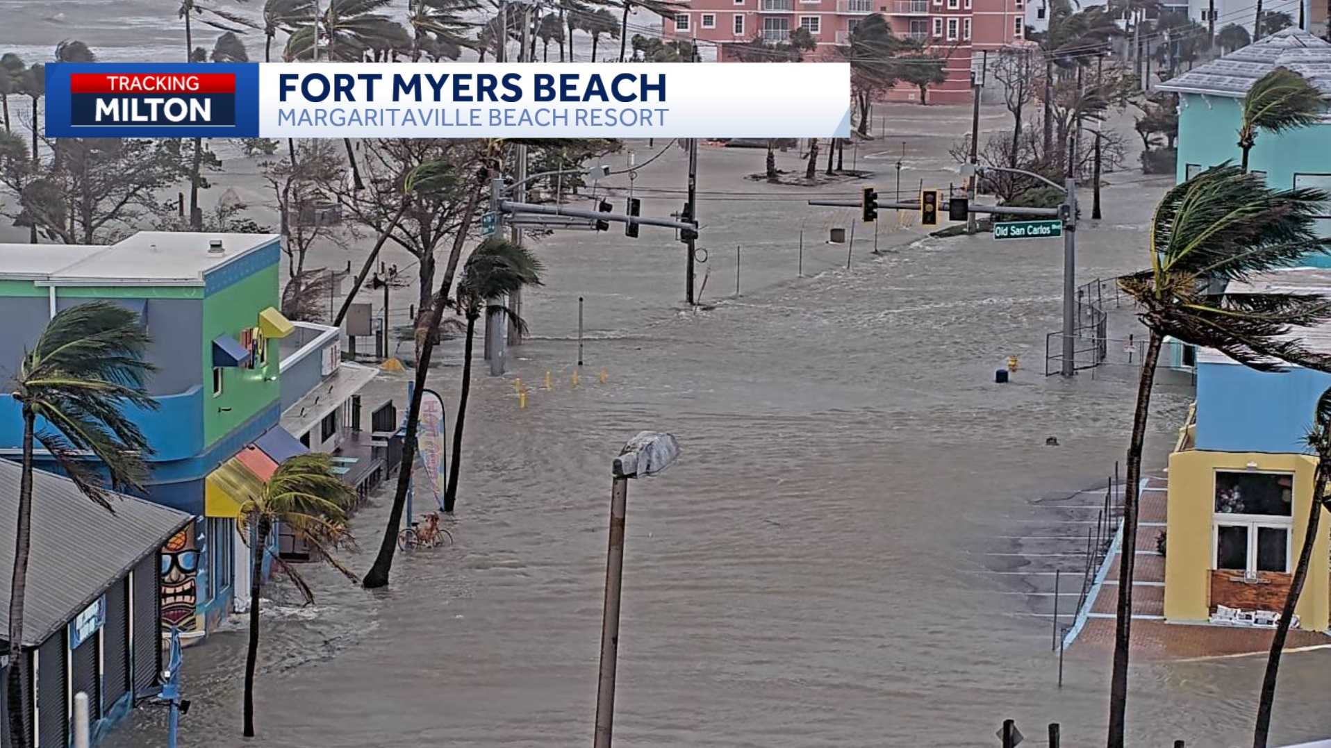
For the coast in Charlotte County, 10-15' of storm surge is possible. For coastal Collier County, 5-8 feet of storm surge is possible.
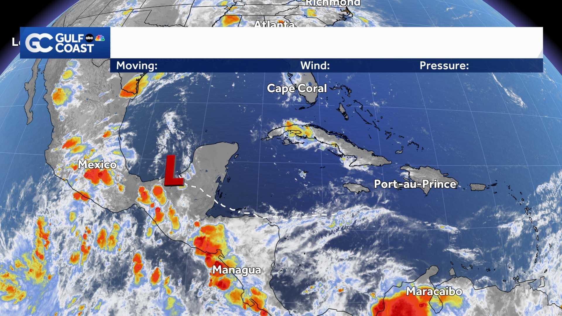
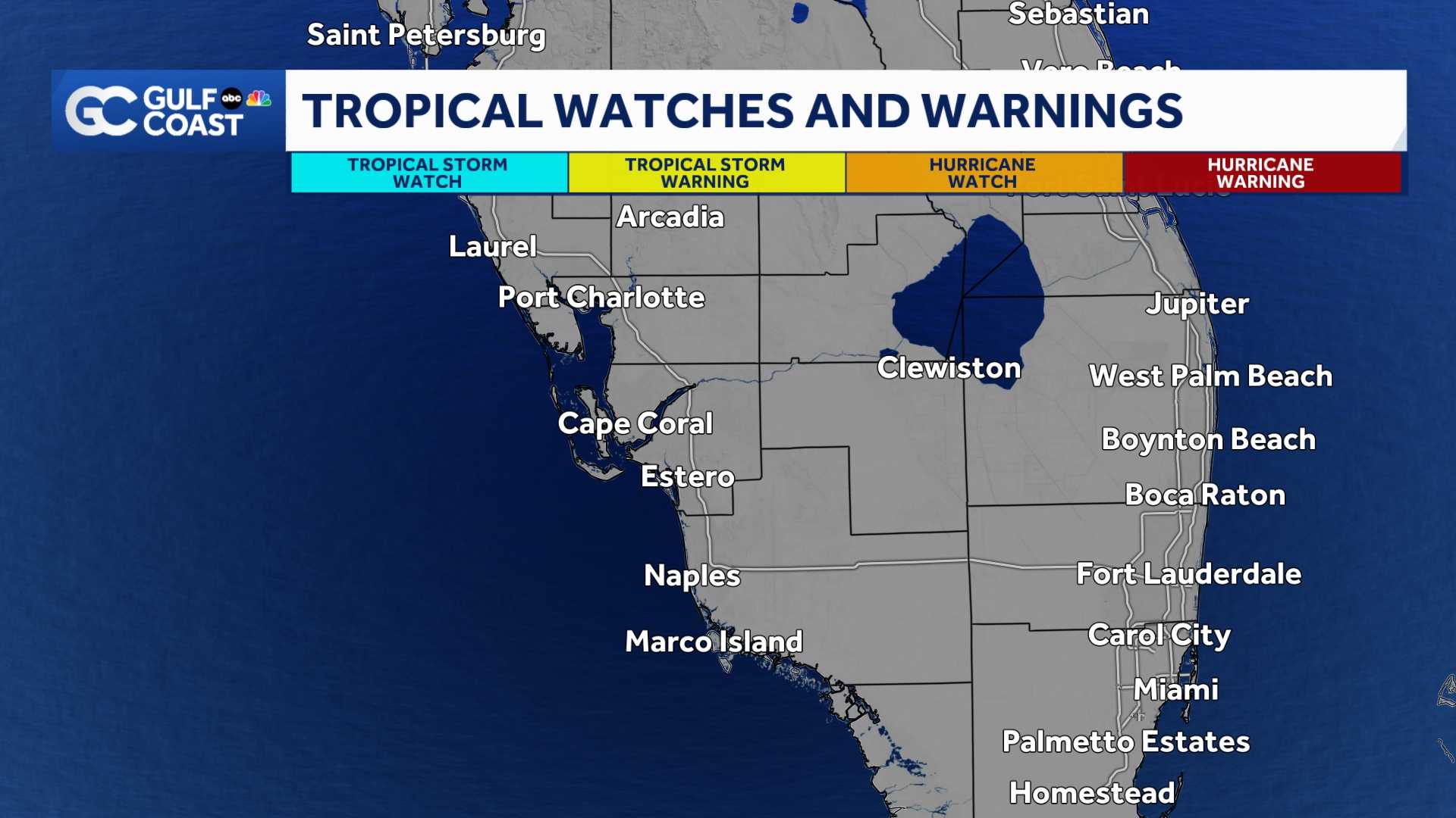
A hurricane warning remains active in Lee, Charlotte, and DeSoto Counties.
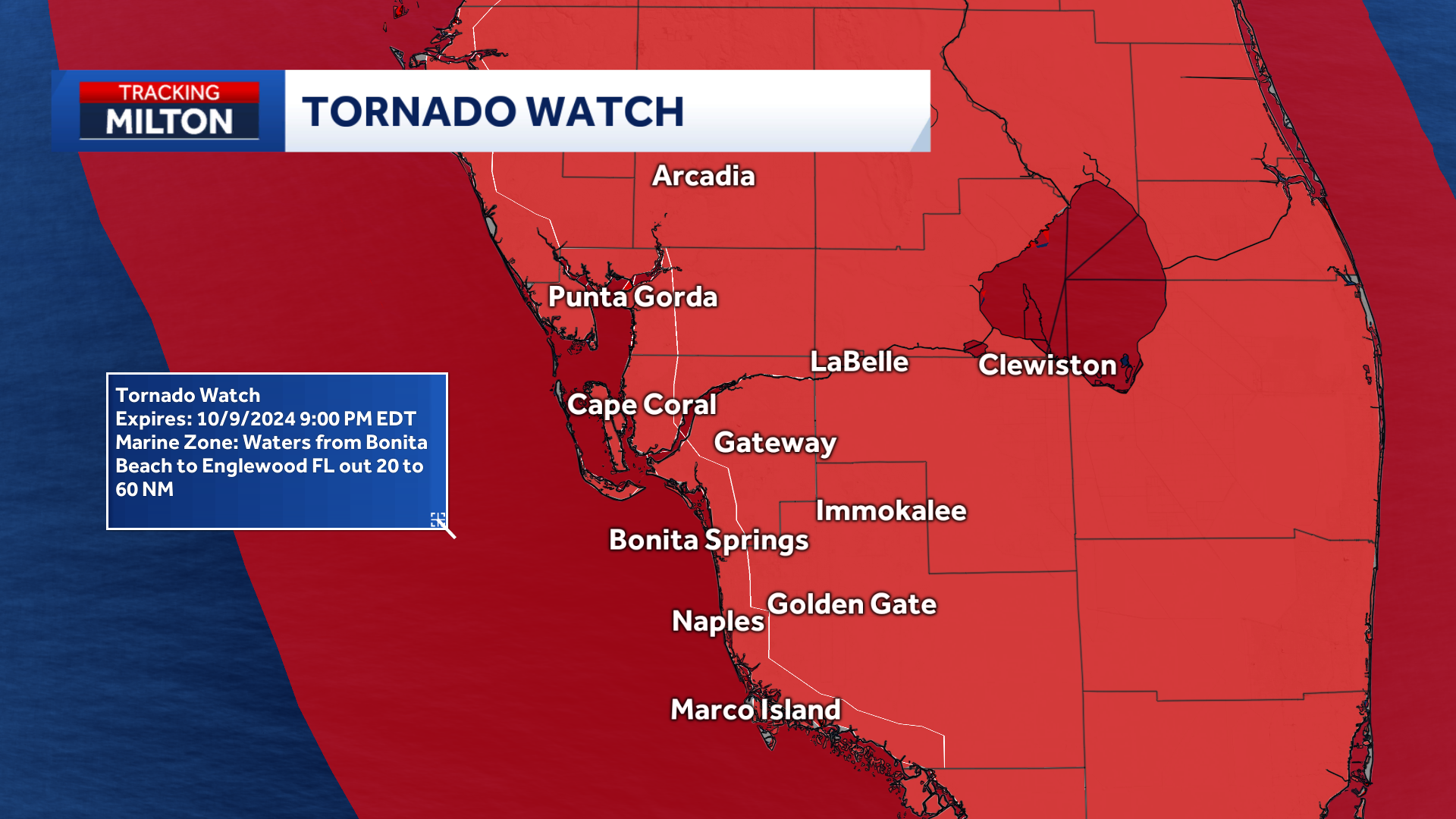
A
tornado watch
will remain active for all of Southwest Florida until 9 p.m. Wednesday.
A hurricane watch remains active for Collier, Glades, and Hendry Counties.
A flood watch remains active for all of Southwest Florida through Thursday morning.
Where is the Storm Going?
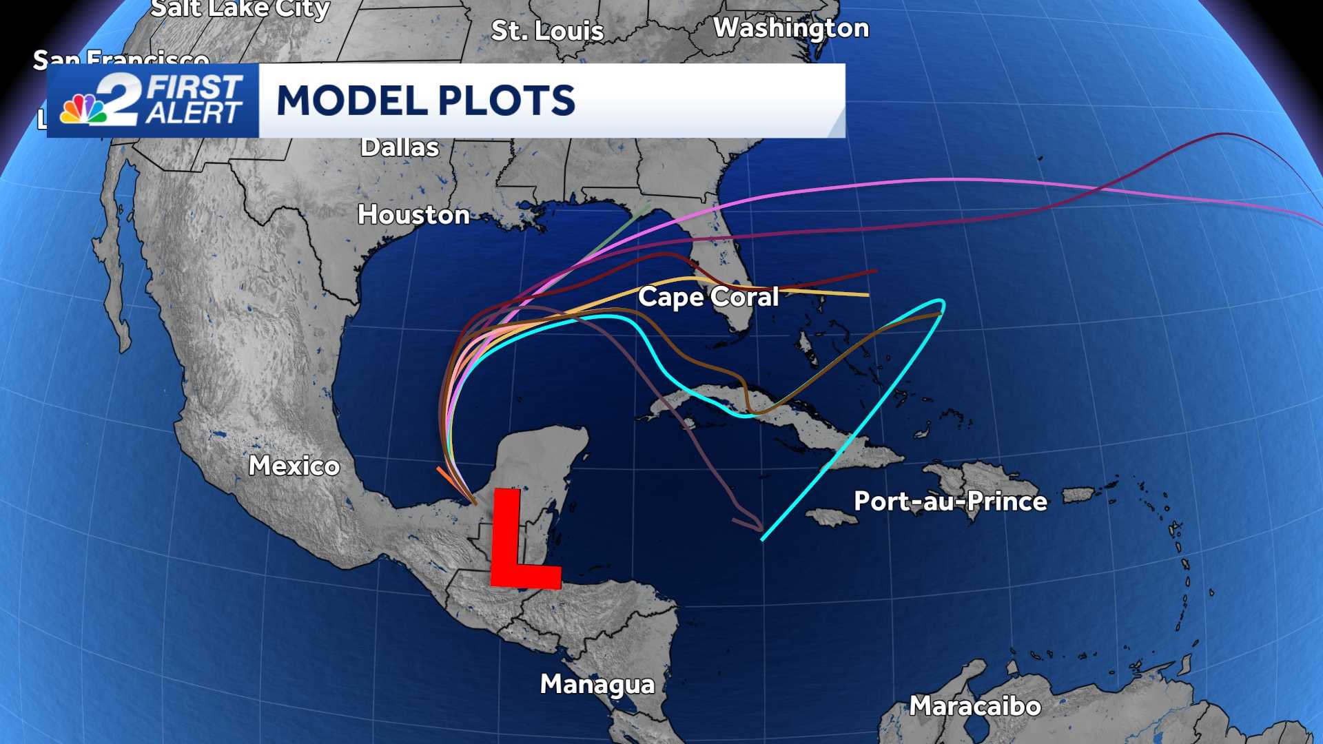
The storm is forecast to approach western Florida as a major hurricane when it makes landfall late tonight or early Thursday morning. As wind shear has been increasing ahead of landfall, the storm is projected to make landfall as a Category 3 storm.
It is important not to focus on the center of the forecast cone.
The cone communicates where the center of the hurricane is most likely to be at a certain point in time, and though it is most likely the worst of the winds from the eye will be north of Lee County, it remains possible for the storm to jog southward bringing more substantial wind threats to our community.
What Impacts Will Happen Where I Live?
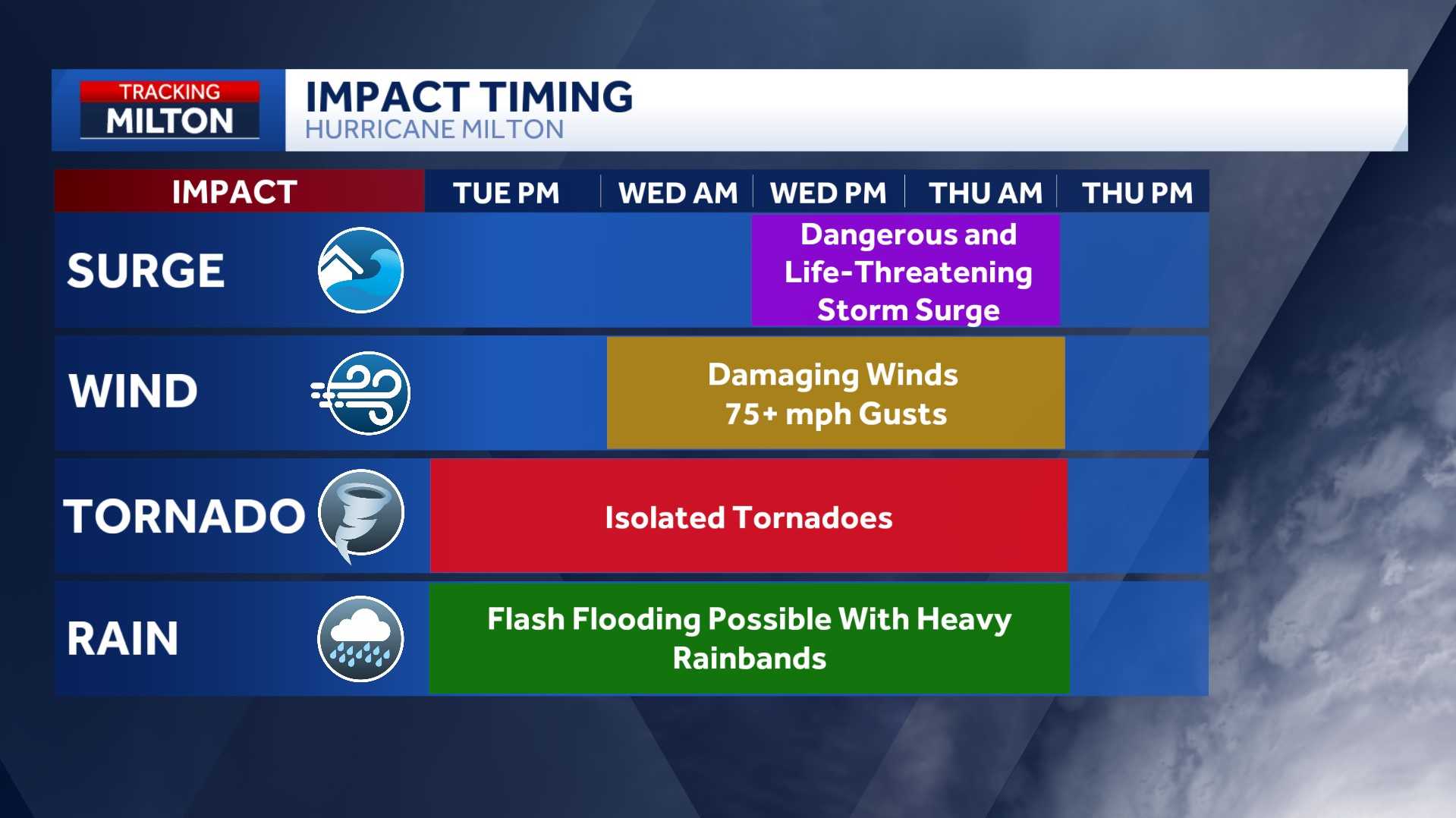
The biggest threat to our community is storm surge.
Evacuation zones in Southwest Florida are drawn on the risk of storm surge flooding. If you live in an evacuation zone that has been ordered to leave, it is possible for storm surge flooding to reach your location.
Evacuation orders are active for zones A, B and C in Charlotte County, zones A and B in Lee County and zones A and B in Collier County.
Times of gusty wind--at or above hurricane force--will remain possible in much of our area through this evening along with risk of additional spin-up tornadoes.
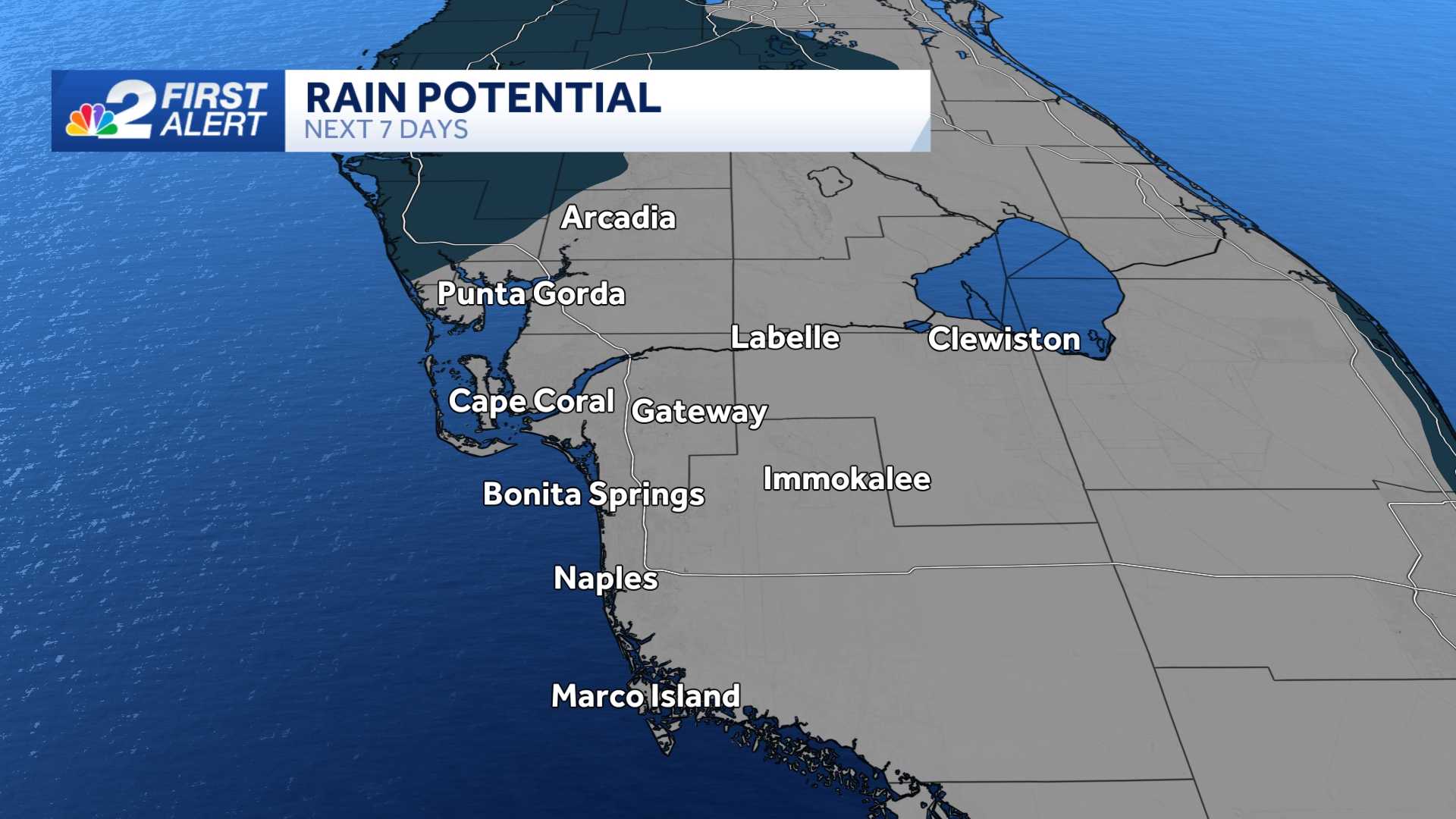
Rainfall totals of 2 to 5 additional inches of rain will be possible within the next 2 days.
When Should I Expect Impacts?
Rain bands will be the main impact in Southwest Florida this afternoon and evening.
Storm surge will be the main impact in Southwest Florida this evening, overnight tonight and into early Thursday.
Download the free NBC2 News app for the latest weather alerts.
Follow the NBC2 weather team on social media
- Chief Meteorologist Allyson Rae on Facebook and X
- Meteorologist Jason Dunning on Facebook and X
- Meteorologist Rob Duns on Facebook and X
- Meteorologist Lauren Hope on Facebook and X
- Meteorologist Jesslyn Ferentz on Facebook and X
Watch our forecasts on TV or online
- Here's where to find our latest video forecast
- You can also watch a livestream of our latest newscast here
DOWNLOAD the free NBC2 News app for your latest news and weather alerts.