The National Weather Service Tampa has released preliminary reports, confirming multiple tornadoes in Southwest Florida prior to Hurricane Milton's landfall on Oct. 9.
Fort Myers
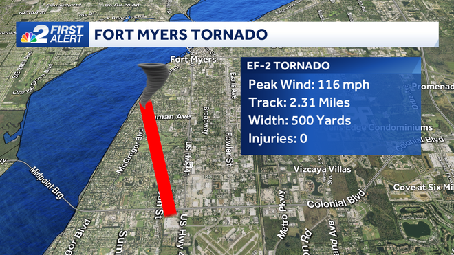
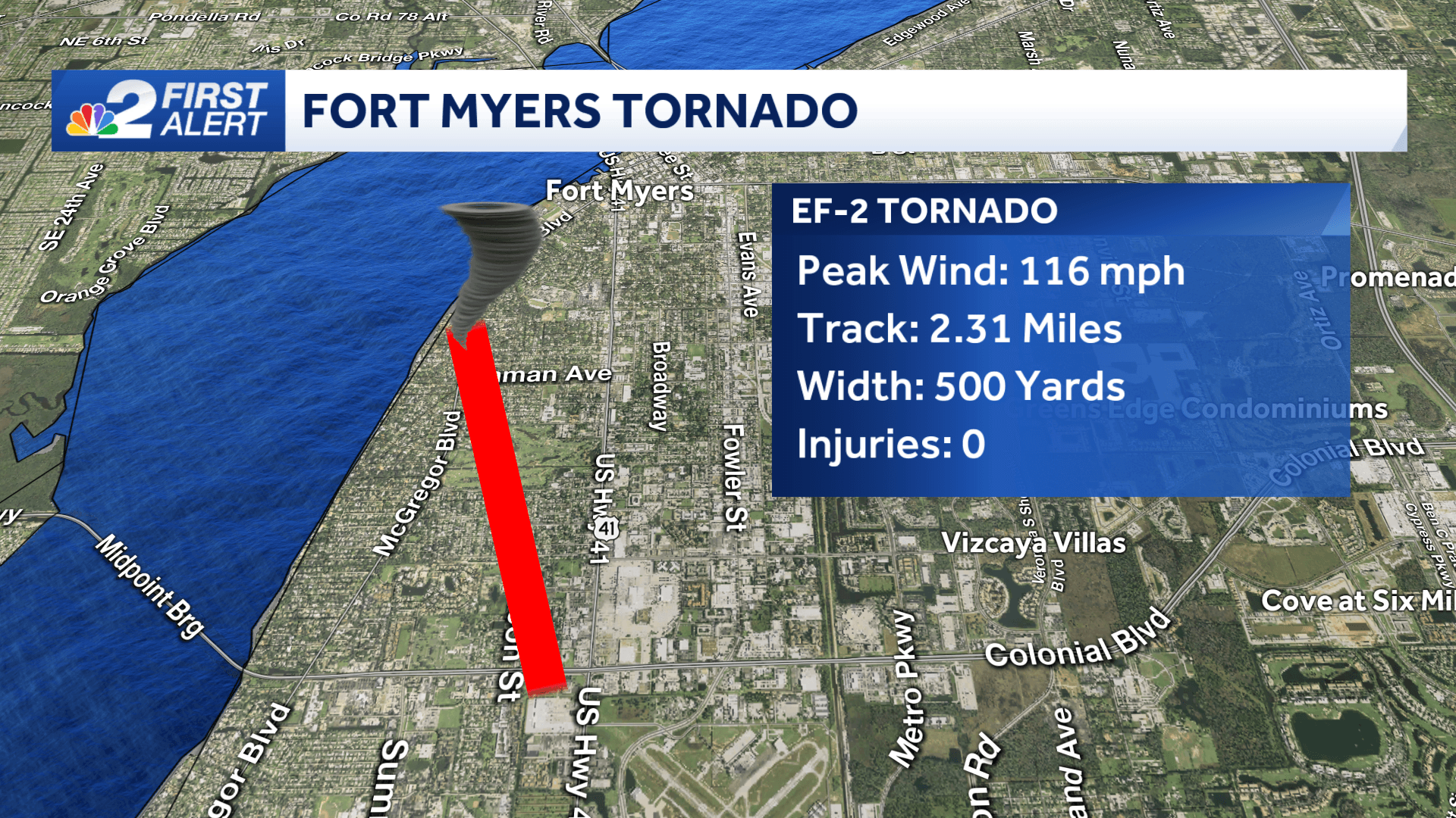
An EF-2 tornado touched down a few blocks south of Colonial Boulevard in Fort Myers. The tornado was estimated to begin around 12:15 p.m.
The tornado brought peak winds of 116 mph to portions of Fort Myers and McGregor neighborhoods before lifting over the Caloosahatchee River.
The strongest damage was along Orangewood Ave. where it caused roof damage and uprooted trees. The tornado stayed on the ground for over two miles.
Matlacha
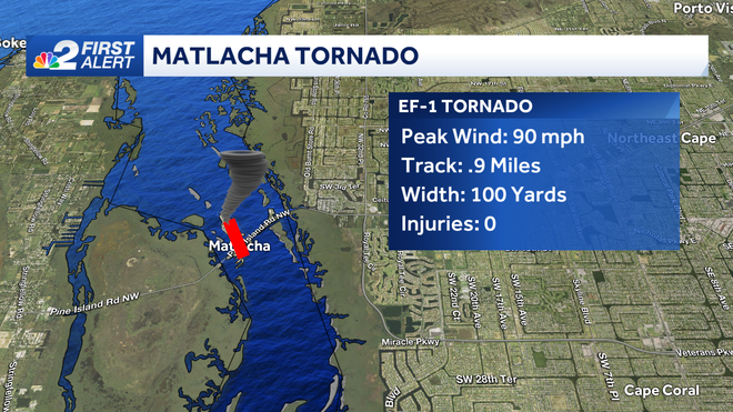
An EF-1 tornado swept through Matlacha causing damage to the siding and roofs of several homes.
A waterspout moved onshore of Matlacha around 11:54 a.m. and had estimated peak winds of 105 mph.
The tornado was on the ground for approximately two minutes before dissipating as it moved back over water. The path was just under a mile in length.
North Fort Myers is expected to be surveyed for tornado damage on Thursday. NWS Tampa says future updates are expected as additional info from across the area is reviewed.
Glades County
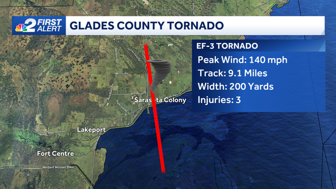
An EF-3 tornado made its way to land after forming as a water spout in Lake Okeechobee.
It made landfall in Sarasota Colony, just east of Lakeport, before reaching peak winds of 140 mph.
The tornado tracked a total of 9.1 miles while spreading a width of 200 yards. Three injuries were reported as a result of the tornado.
DOWNLOAD the free NBC2 News app for your latest news and weather alerts.
Follow the NBC2 weather team on social media
- Chief Meteorologist Allyson Rae on Facebook and X
- Meteorologist Jason Dunning on Facebook and X
- Meteorologist Rob Duns on Facebook and X
- Meteorologist Lauren Hope on Facebook and X
- Meteorologist Jesslyn Ferentz on Facebook and X
Watch our forecasts on TV or online
- Here's where to find our latest video forecast
- You can also watch a livestream of our latest newscast here
DOWNLOAD the free NBC2 News app for your latest news and weather alerts.