
After making landfall as a category 3 hurricane over western Cuba, Hurricane Rafael is moving through the southeastern Gulf of Mexico Thursday morning.
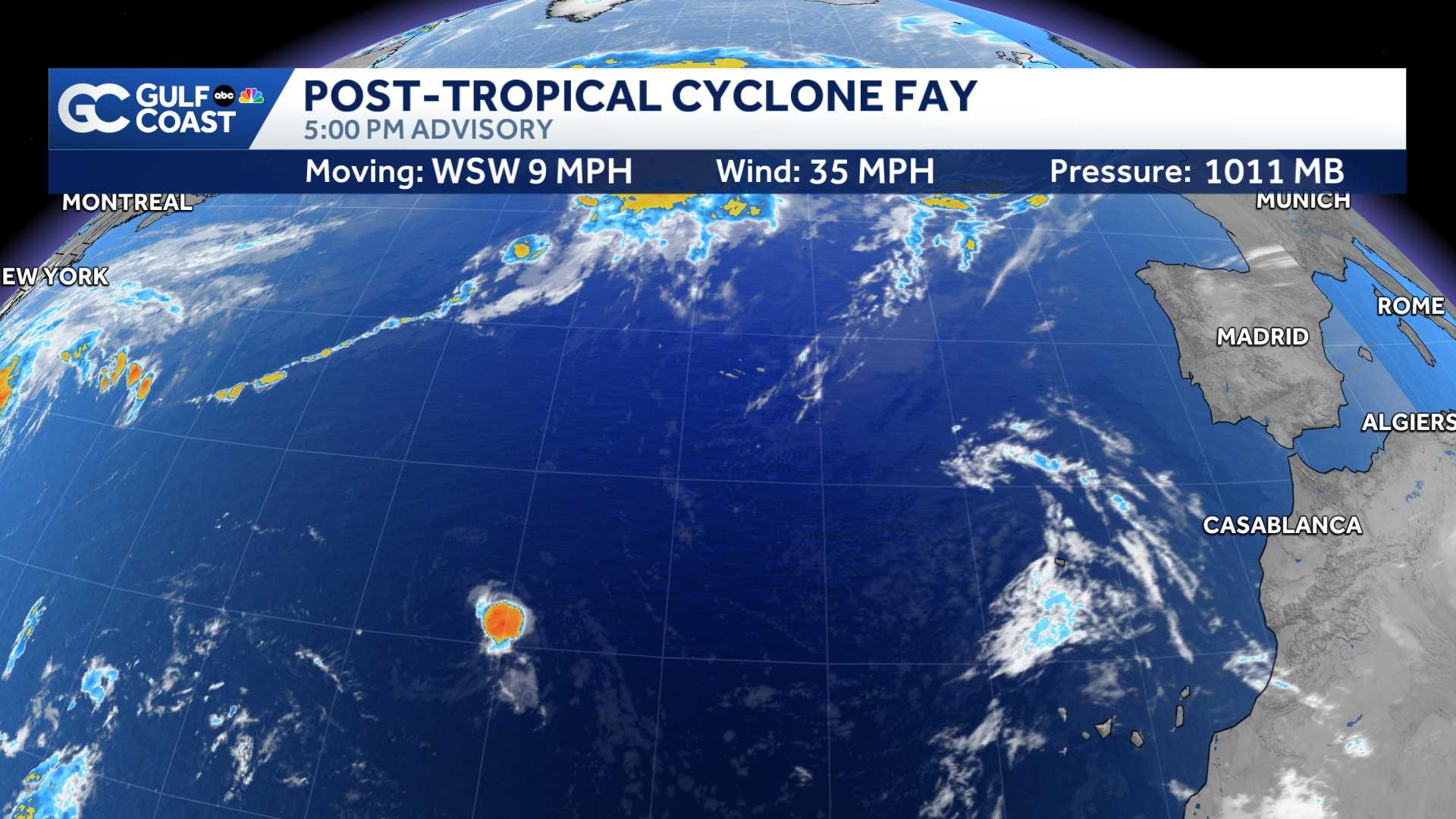
Rafael is now a Category 2 hurricane with maximum sustained winds at 105 mph. Rafael is forecast to hold on to its Category 2 strength until the storm gets into the central part of the Gulf of Mexico and a more hostile environment for tropical development. Rafael is forecast to move into the southeastern Gulf of Mexico through early Thursday morning, which is when it will make its closest pass off Southwest Florida's coast.
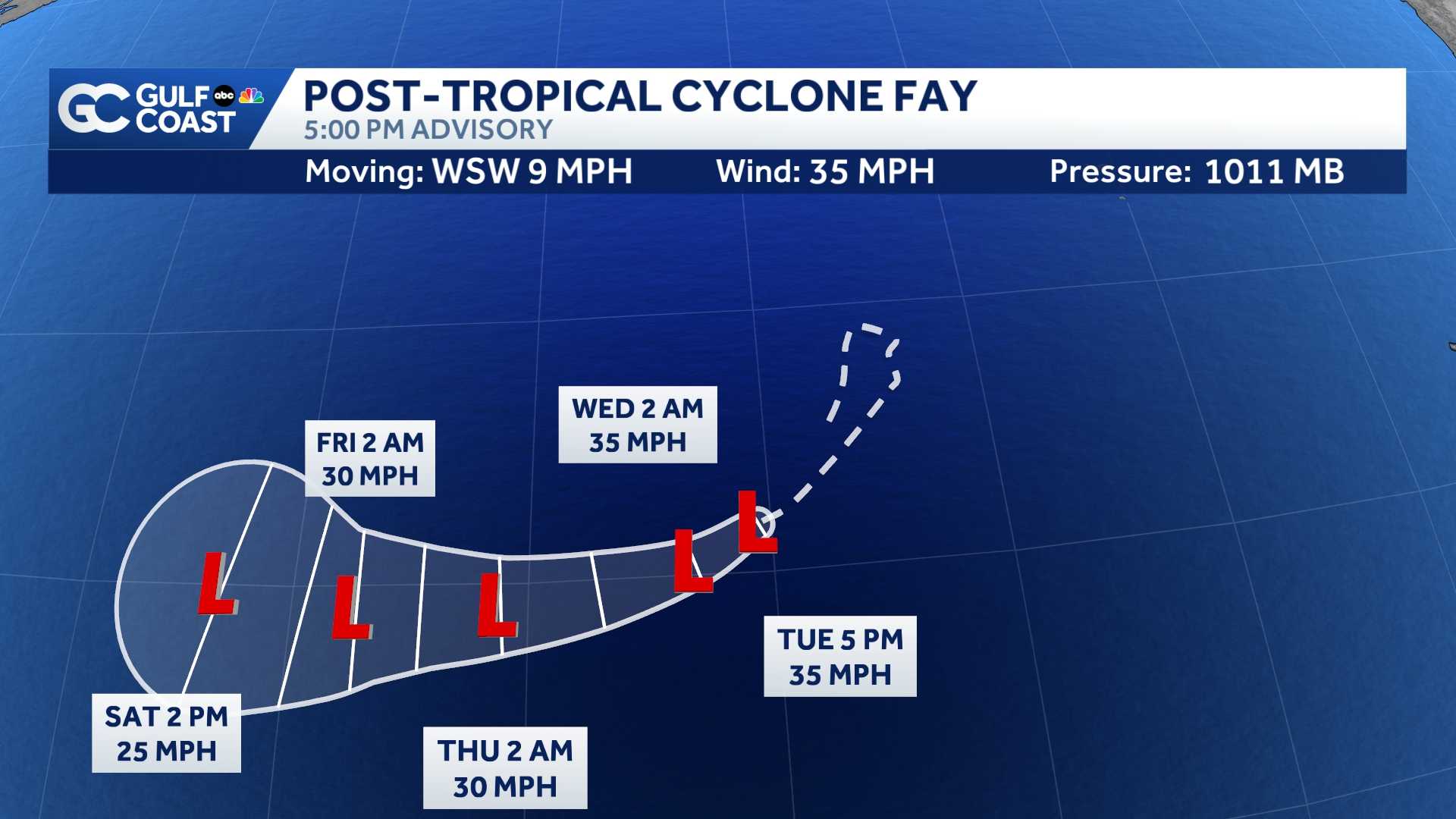
Rafael's closest pass to Southwest Florida will be about 200 miles offshore. Computer model forecasts are in remarkable agreement that Rafael will stay far off our coast and will not make landfall in Florida.
However, we should expect to see at least some peripheral effects Thursday as tropical continues to spread across our area.
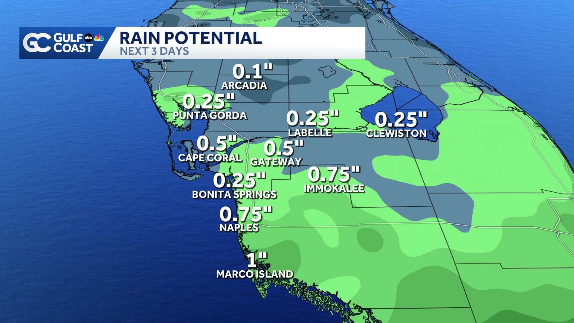
Increasing tropical moisture over south Florida will help trigger scattered rain and storms across our area but rainfall is not expected to be very widespread. Rain totals will likely range from 0.25" to 1", keeping the threat of flooding very low.
Since Rafael will be tracking farther offshore, this will not be a big wind event for our area. Winds will push offshore the next two days from 10-15 mph, with some gusts up to 25-30 mph.
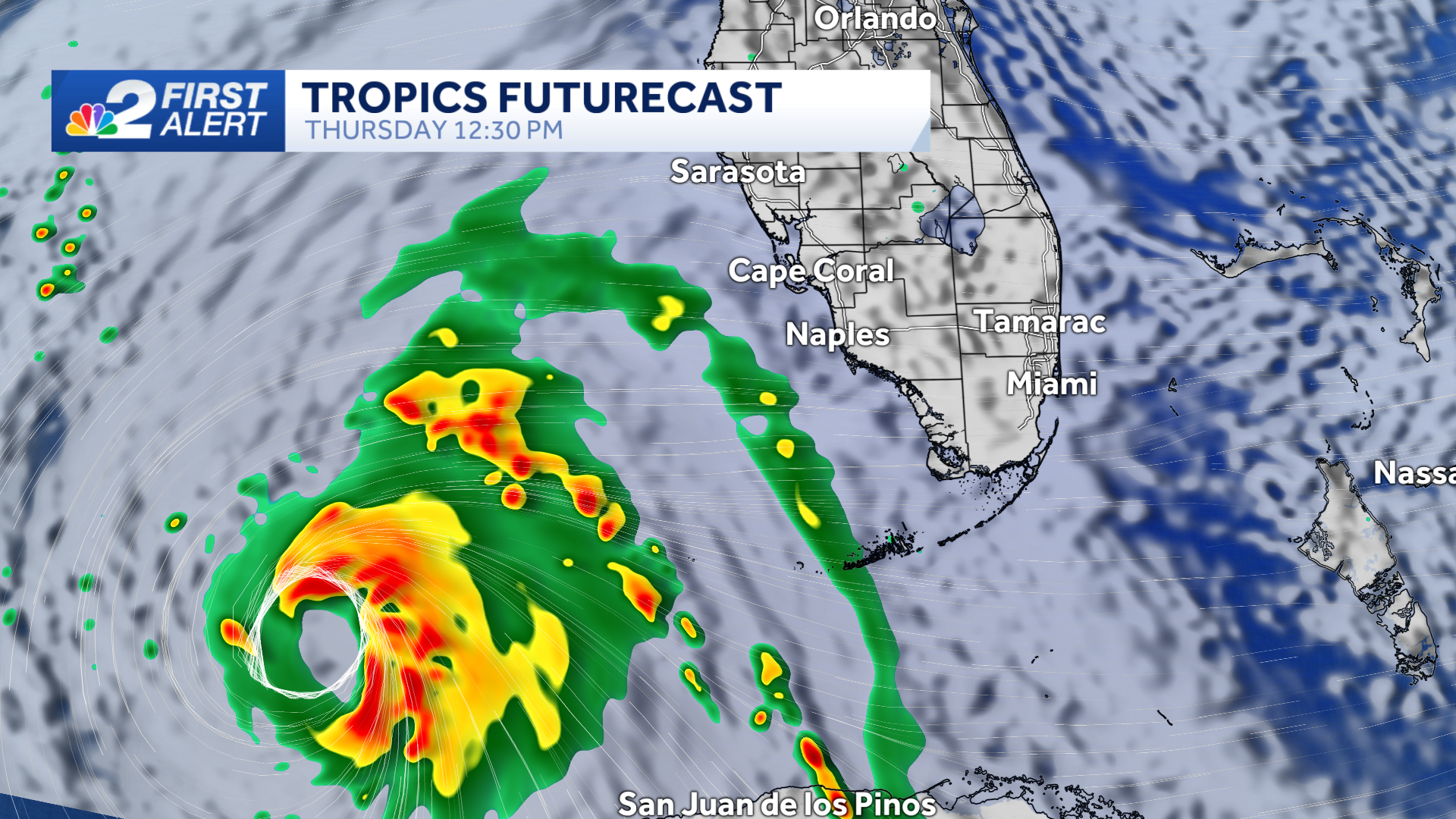
With a likely-category 2 hurricane in the southern Gulf, marine conditions will become more hazardous Thursday, with higher waves, strong rip currents and above normal tides. Due to the storm's track away from Florida, winds are forecast to push offshore, so we're not concerned with any threat of storm surge.
Drier air moves in behind Rafael Friday as the storm heads for the central Gulf of Mexico, leaving us with sunny and dry weather to end the week.
Elsewhere in the tropics, an area of low pressure could develop near the northern Leeward Islands in a couple of days. Some slow development of this system is possible during the latter part of the week while it generally moves westward over the southwestern Atlantic.
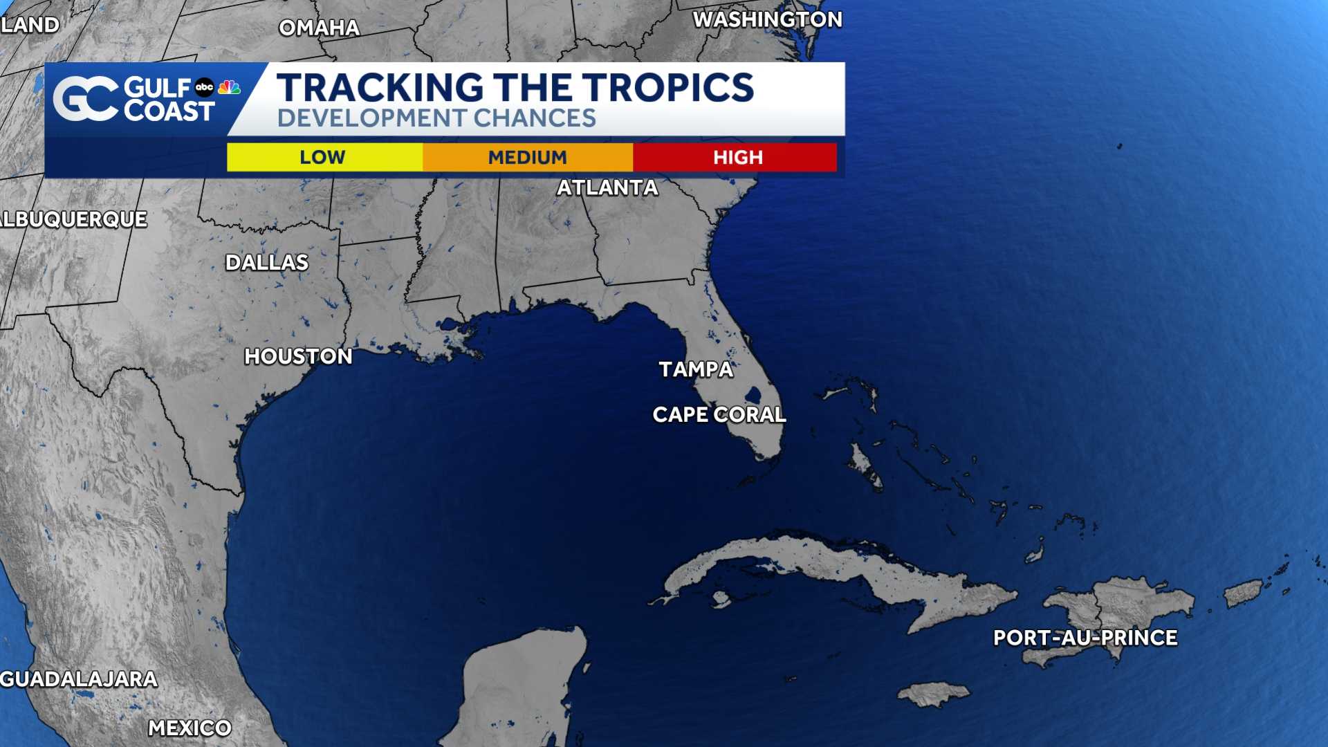
Currently, the NHC gives this feature a low chance for tropical development, but it's possible some extra tropical moisture will increase our rain chances by late this weekend.
______________________________________________________________________
Follow the NBC2 weather team on social media
- Chief Meteorologist Allyson Rae on Facebook and X
- Meteorologist Jason Dunning on Facebook and X
- Meteorologist Rob Duns on Facebook and X
- Meteorologist Lauren Hope on Facebook and X
- Meteorologist Jesslyn Ferentz on Facebook and X
Watch our forecasts on TV or online