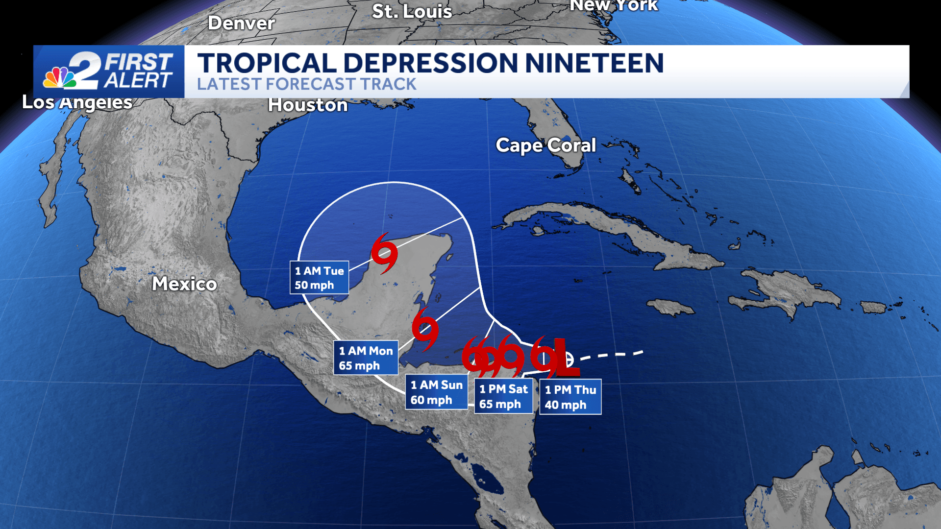
Tropical Depression 19 formed in the western Caribbean early Thursday morning. The storm is moving west at 14 mph with sustained winds at 35 mph.
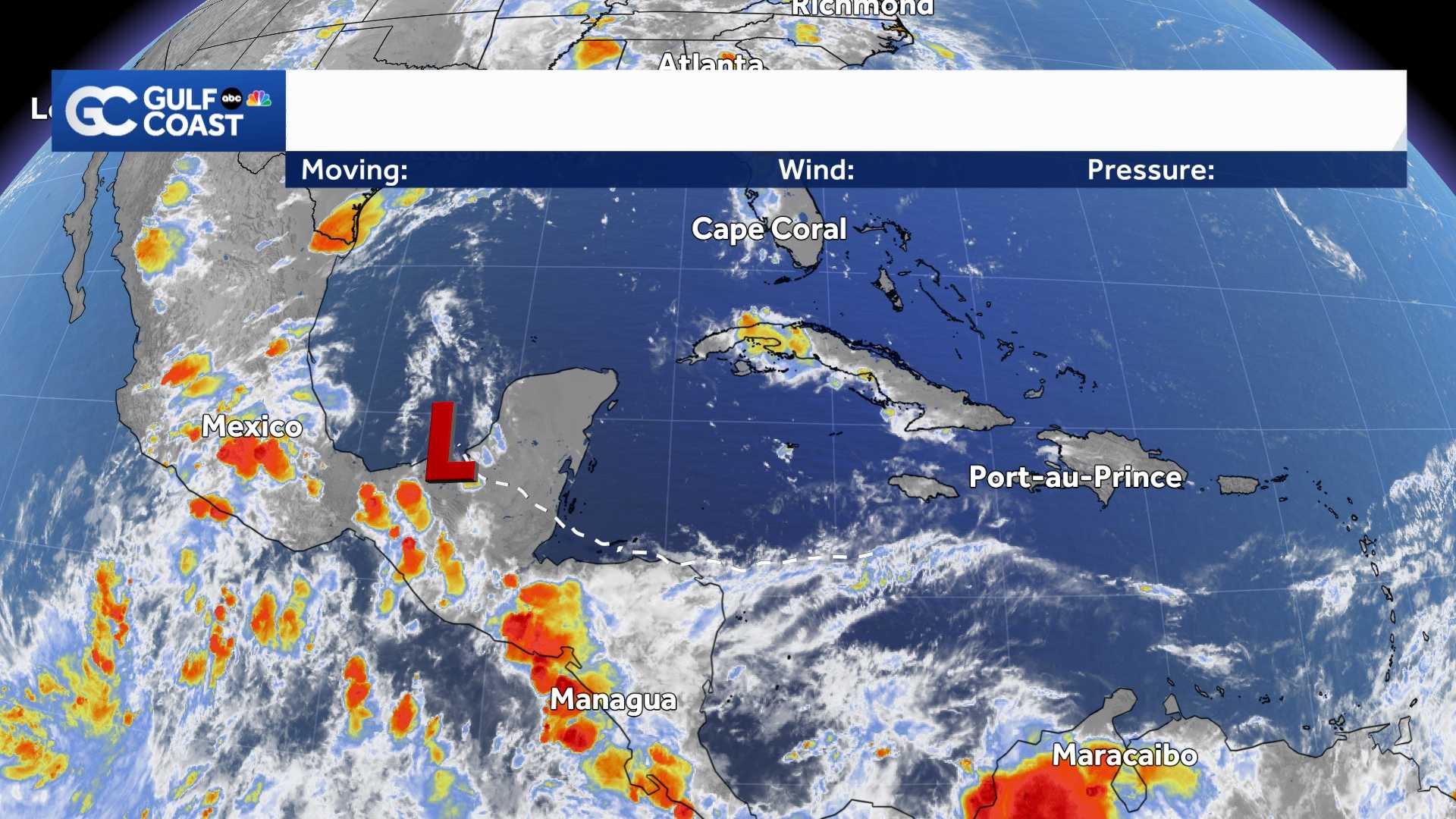
The current forecast calls for T.D. 19 to become Tropical Storm Sara later Thursday and weaken back to a depression by Monday, but the storm's intensity is one of the biggest question marks at this point.
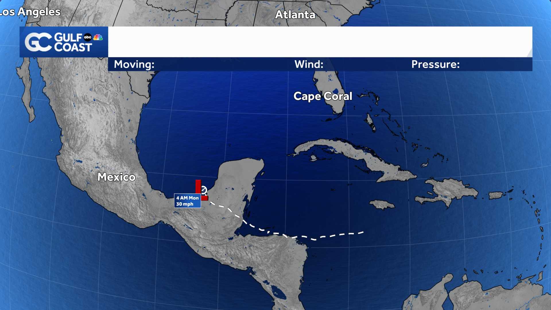
For now, Florida is not in the cone, but impacts to the Florida Gulf Coast is possible next week. That's highly dependent, however, on how much land interaction the storm has with Central America and the Yucatan peninsula. The storm will produce life-threatening mudslides and flooding for Honduras through the weekend.
It's possible soon-to-be Sara could track far enough over land to weaken the storm substantially, in which case the threat to Florida would be much lower. It's even possible the storm falls apart.
If, however, the storm manages to stay over water for longer, impacts would be more significant for the Gulf coast next week.
High pressure building across the northern Gulf this weekend will keep soon-to-be Sara meandering across the western Caribbean through the weekend. Then a dip in the jet stream could scoop the system northward into the Gulf of Mexico by Monday or Tuesday.
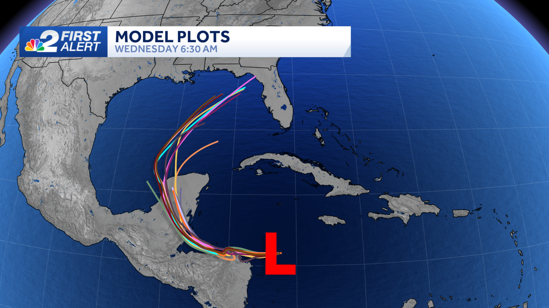
It's important to remember that forecast models this far out are subject to larger errors, particularly for storms that are weak or haven't developed. We'll have much higher confidence in a track once a system forms and have a better idea how much it interacts with land.
While it's possible Sara could strengthen into a hurricane, it would be unusual for a major hurricane (category 3 or higher) to move across the Gulf of Mexico this late into the season due to stronger wind shear and cooler water temperatures.
Even though hurricane season is in the process of winding down, it's not unheard of to get impactful storms in the month of November. The most recent ones were Nicole in 2022 and Eta in 2020. Both made landfall in Florida. Since 1851, only one hurricane has made landfall in Florida after November 20, which was Hurricane Kate back in 1985.
At this point, it's too early to know if this storm will bring any significant impacts to Southwest Florida, but we should monitor the possibility for a storm to impact any part of the state next week.
The best thing to do now is stay well-informed and plugged into what's happening in the tropics.
Count on the NBC2 First Alert Hurricane Tracking Team to keep you updated.
______________________________________________________________________
Follow the NBC2 weather team on social media
- Chief Meteorologist Allyson Rae on Facebook and X
- Meteorologist Jason Dunning on Facebook and X
- Meteorologist Rob Duns on Facebook and X
- Meteorologist Lauren Hope on Facebook and X
- Meteorologist Jesslyn Ferentz on Facebook and X
Watch our forecasts on TV or online