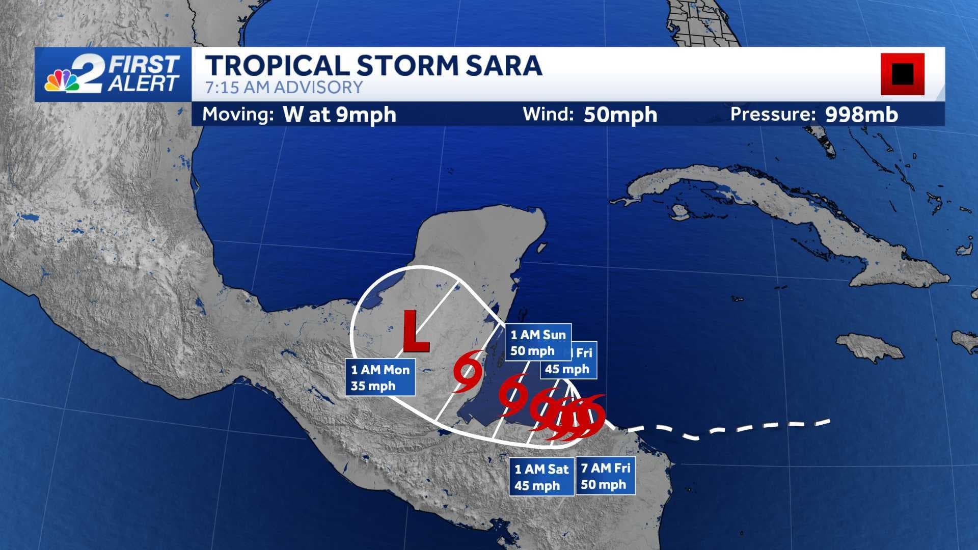
Tropical Storm Sara briefly made landfall over the coast of Honduras overnight, but now that the storm is back over water just north of land, winds have increased slightly to 50 mph.
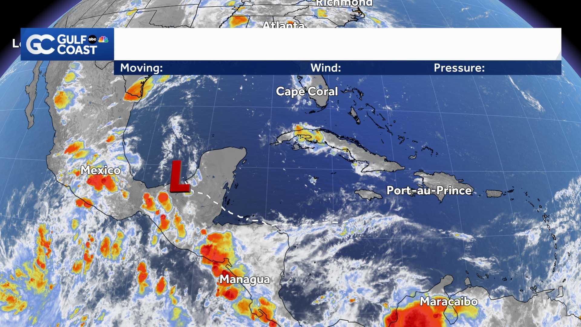
The latest forecast for Sara shows the storm dissipating over the Yucatan peninsula this weekend, with the remnants of the system moving into the Gulf of Mexico early next week.
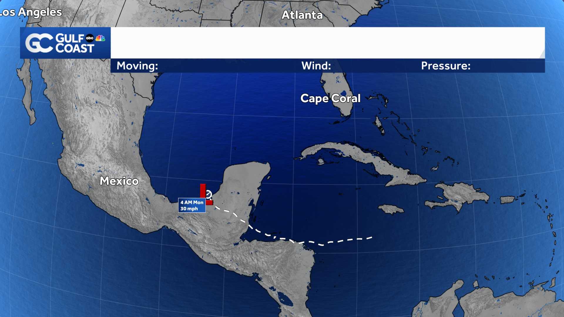
It appears unlikely that Sara will redevelop over the Gulf next week, but we'll need to monitor the system to be sure.
What's more likely is the leftover tropical moisture from Sara will merge with a cold front moving through the Gulf coast states early next week, which will bring us higher rain chances on Wednesday.
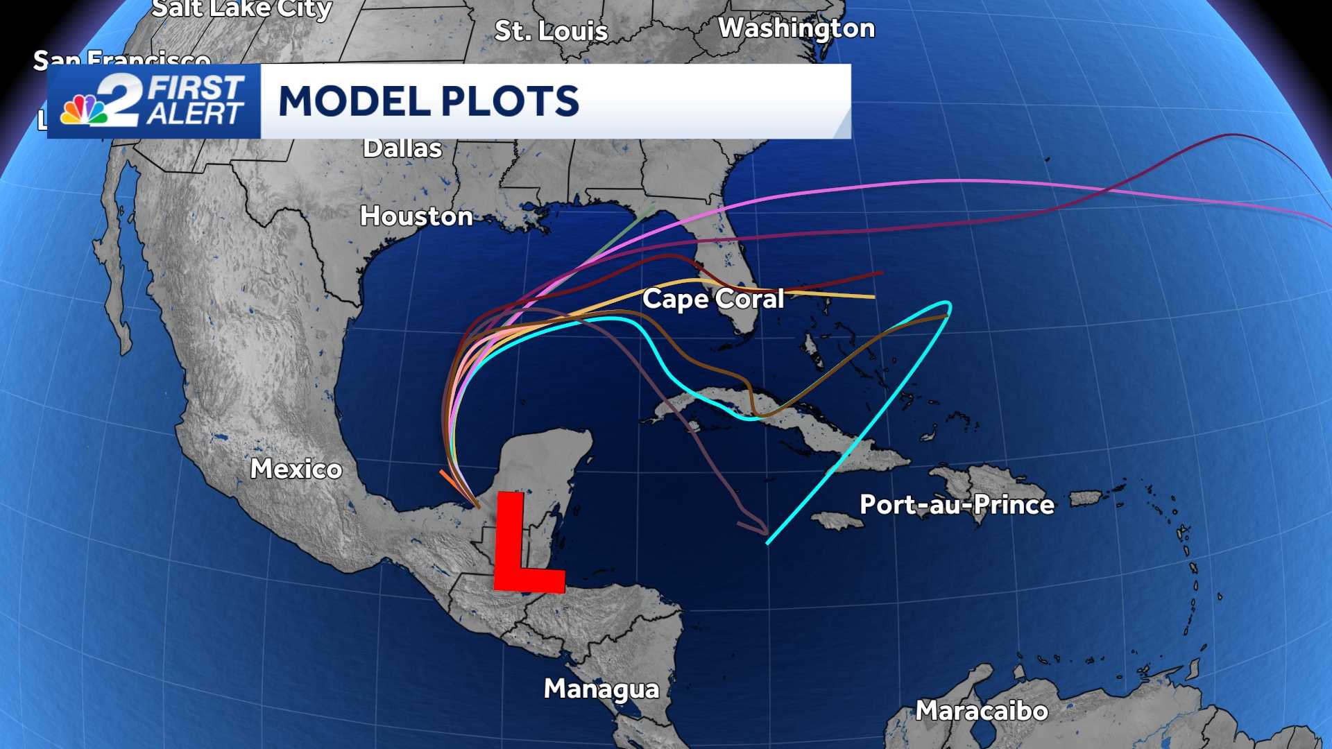
Even though you might see the spaghetti plots pointed toward south Florida, it's important to note that the models are not showing a tropical system heading our way. Instead, the model lines are showing only a weak area of low pressure with the remnants of Sara, which would just bring us some rain and storms Wednesday.
Count on the NBC2 First Alert Hurricane Tracking Team to keep you updated as we continue to follow Tropical Storm Sara into the weekend.
______________________________________________________________________
Follow the NBC2 weather team on social media
- Chief Meteorologist Allyson Rae on Facebook and X
- Meteorologist Jason Dunning on Facebook and X
- Meteorologist Rob Duns on Facebook and X
- Meteorologist Lauren Hope on Facebook and X
- Meteorologist Jesslyn Ferentz on Facebook and X
Watch our forecasts on TV or online