Dry conditions on Tuesday evening will give way to a wetter Wednesday as we track a strong cold front headed toward the state.
Humidity levels will rise Tuesday evening and temperatures will remain in the 70s.
Rain chances will begin to increase overnight and Wednesday morning as moisture from the leading edge of a cold front approaches the Gulf Coast.
As the line of storms begins to approach the viewing area, forecast models show the bulk of the storms losing some intensity and coverage.
For this reason, rain totals aren't expected to be large locally.
Most areas will see less than a half inch of total rain, while portions north of the viewing are expected to see more.
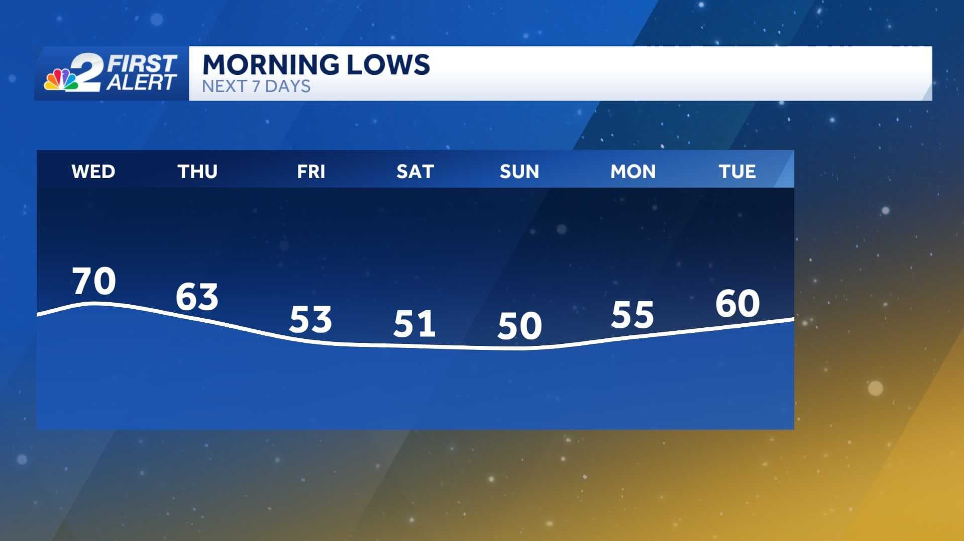
After the passage of the cold front, drier and noticeably cooler weather will begin to take hold.
From Thursday until the weekend, daytime temperatures will only reach the upper 70s.
Overnight temperatures will drop to the lower 50s, while some temperatures in the upper 40s are possible for interior sections.