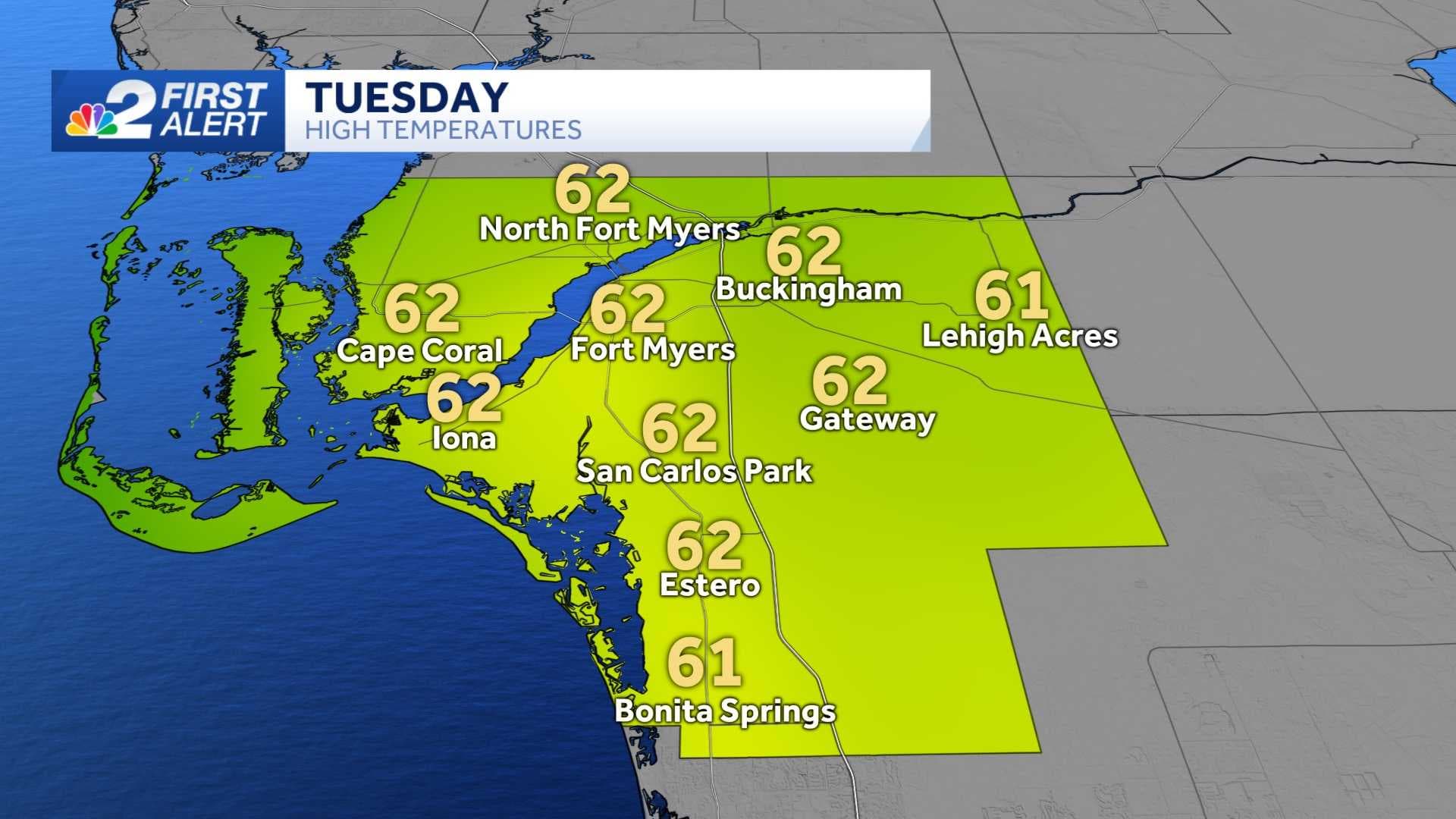
Tuesday is expected to be the coolest afternoon in the city of Fort Myers since Feb. 18, 2024.
That's quite something considering high temperatures on Monday were above the seasonable average for early January, warming all the way up to 77 degrees!
What's causing the big swing in temperatures along the Gulf Coast is the robust cold front moving down the state.
This front will be well to the south and east of our area by sunrise Tuesday morning, allowing a substantially colder air mass to take over as the day goes on.
Current forecast guidance points to temperatures in communities like Fort Myers briefly hitting 62 degrees during the warmest point of the day. That's 13 degrees below average for Jan. 7!
If Tuesday's temperature forecast is correct, that will make it the coolest afternoon in the city since Feb. 18, 2024, when the afternoon high was also just 62 degrees.
Despite the chilly-for-Florida weather Tuesday, we don't expect any temperature records to fall.
Tuesday's record-cold afternoon high is 53 degrees and was set in 1924, and the record-low morning temperature is 38 degrees, which was set in 2010.
The coldest temperatures during the seven-day forecast along the Gulf Coast are expected Tuesday night.
That's when the area is expected to see widespread lows fall into the low 40s, with some 30s possible in inland areas of the region.