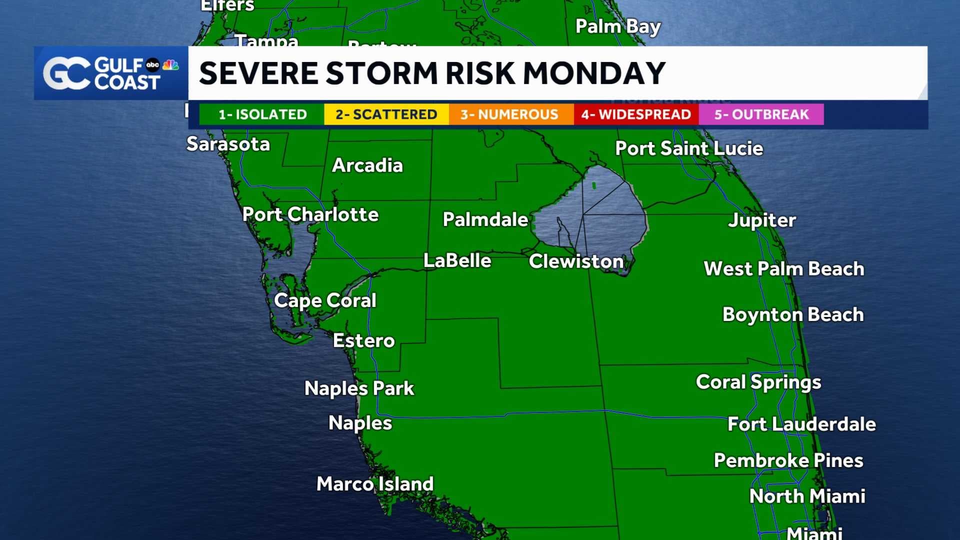
Active weather will be impacting most of Florida, including the Gulf Coast, over the next 24-36 hours.
A low pressure system located in the gulf is responsible for sending a surge of warm, moist, and unstable air over the Gulf Coast.
This will set the stage for a dynamic weather pattern as this system slowly moves towards the state. Forecast models depict a strong line of storms moving across the area overnight.
These storms are capable of producing heavy rain, frequent lightning, and gusty winds. Severe weather is also possible as these storms progress through the state.

Training line of storms are possible over the same areas, because of this, portions of the Gulf Coast are now under a Flood Watch until Tuesday morning.

This unsettled weather will last through Monday, but by Tuesday afternoon, stable weather will begin to dominate the weather for the remainder of the week.
DOWNLOAD
the free
Gulf Coast News app
for your real-time severe weather alerts and breaking news.
Follow the Gulf Coast Storm Team on social media
- Chief Meteorologist Allyson Rae on Facebook and X
- Meteorologist Jim Dickey on Facebook and X
- Meteorologist Jason Dunning on Facebook and X
- Meteorologist Rob Duns on Facebook and X
- Meteorologist Jesslyn Ferentz on Facebook and X
- Meteorologist Lauren Hope on Facebook and X
- Meteorologist Raphael Tavernier on Facebook and X
Watch your Gulf Coast Weather forecasts on TV or online
- Here's where to find our latest video forecast
- You can also watch our newscasts live or on demand here