Fox4Now
TRACKING THE TROPICS: What to watch as we head into September
Fox4Now Staff
•8/28/2025
Source: Fox4Now
TROPICAL STORM FERNAND
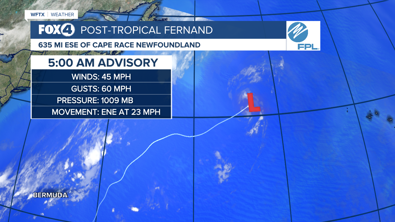
The last advisory has been issued on Post-Tropical Fernand about 635 miles east-southeast of Cape Race Newfoundland.
TROPICAL OUTLOOK

The National Hurricane Center is monitoring a tropical wave that is forecast to emerge off the west coast of Africa on Sunday. Environmental conditions could support some slow development of this system while it moves westward to west-northwestward at 15 to 20 mph, moving across the eastern and central tropical Atlantic next week.
Formation chance through 48 hours is low near 0 percent.
Formation chance through 7 days is low at 20 percent.
WE ARE APPROACHING THE PEAK OF HURRICANE SEASON

WHAT TO WATCH HEADING INTO SEPTEMBER
This is the Climate Prediction Center Outlook for September 3-9.

A new wave is forecast to roll off the coast of Africa. There's a 20-40% chance of it developing in the Atlantic in the vicinity of the Cabo Verde Islands in the first week of September. During this time frame, more favorable conditions are anticipated to develop across the basin, and a broader region for potential formation is indicated in yellow.
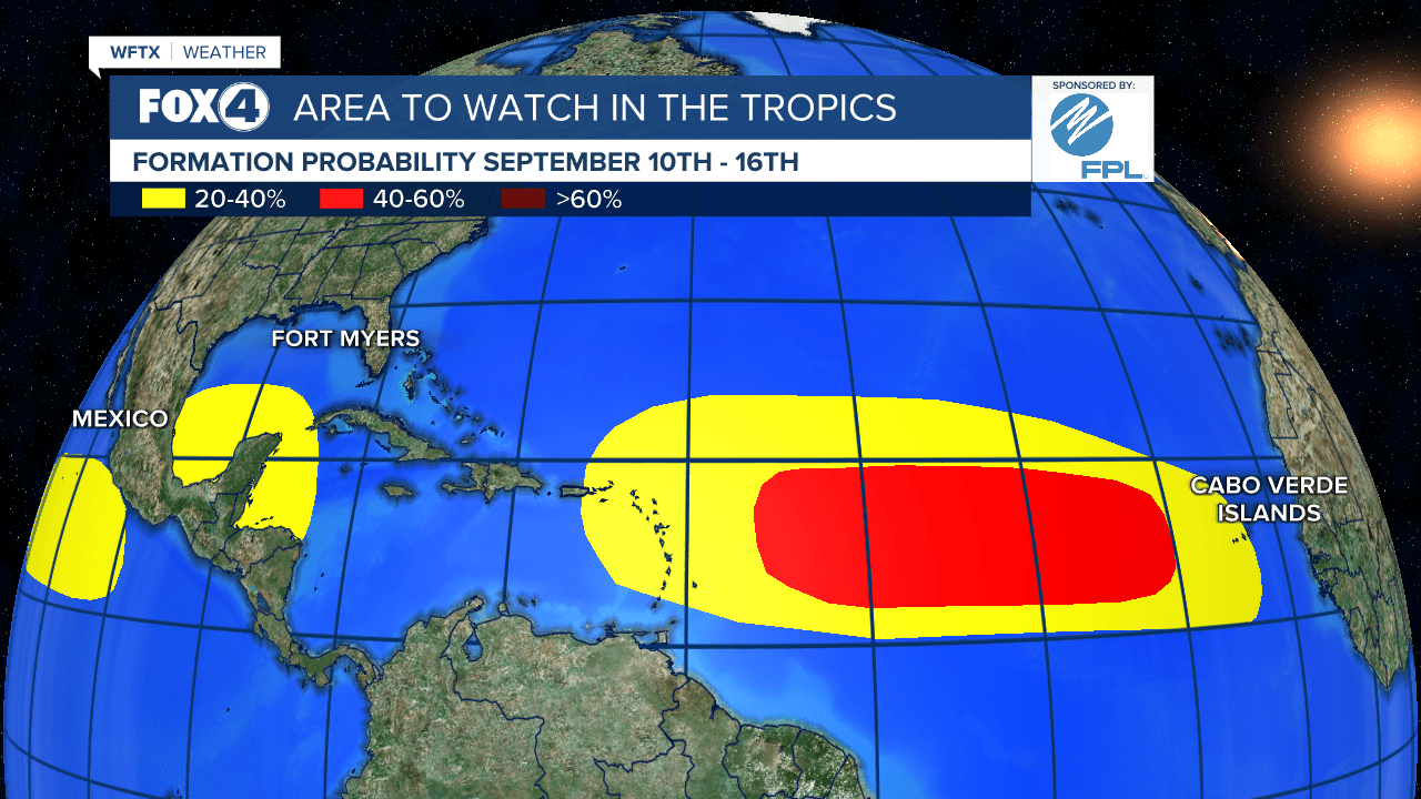
That potential for activity in the Atlantic increases to 40-60% during the week of September 10-16. Dynamical models indicate a potential for formation across the western Caribbean or Gulf of Mexico during this time frame as well, with low-level westerly winds favored to build across the region. We'll be watching closely!

Share: