Weather
Saharan dust on the way: what that means for Southwest Florida
Greg Rule and Lauren Kreidler
•5/28/2025
Source: WINK News

Saharan dust is making a comeback. The first plume of the season is projected to near Florida and the Gulf this weekend and early next week.
Saharan dust is not new. Each year, wind from storms in Africa kicks dust into the air.
Saharan Dust originates from the Sahara Desert, which covers most of northern Africa. It is the largest hot desert in the world, encompassing nearly 5.7 million square miles—almost the size of the United States.
That dust is then lofted thousands of feet into the atmosphere and carried by trade winds across the Atlantic.
When the Saharan Air Layer, or SAL, travels across the Atlantic and into portions of the United States, certain impacts accompany it.
Saharan Dust may limit tropical activity
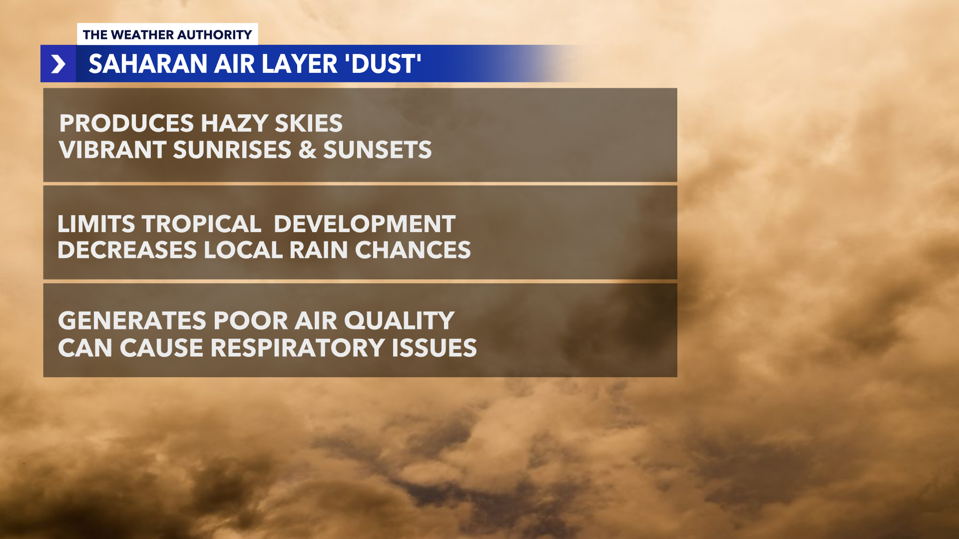
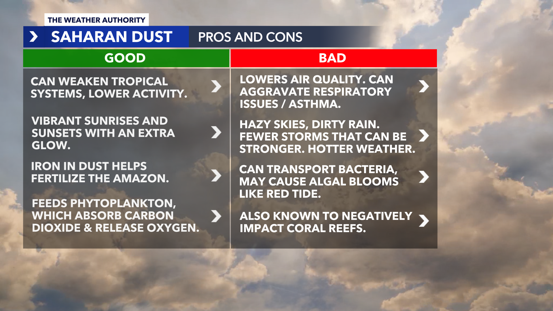
The good news about the dust is that dry air helps suppress tropical development, which is helpful as we approach hurricane season.
Hurricane season kicks off on June 1. The dry, dusty air remains suspended aloft, creating an unfavorable environment for tropical systems to form.
Remember, tropical systems like warm, moist environments and dusty, dry air limit convection storms from developing. Also, when a tropical system is formed and it encounters dust, it significantly weakens the opportunity for the system to strengthen.
Saharan Dust Decreases Air Quality
The large amount of dry, hazy air may lead to minor health issues for people with respiratory concerns, such as asthma.
The young, the elderly and asthmatics are typically impacted the most. Other impacts are generally eye irritation, a scratchy throat and nose issues.
Vibrant sunrises and sunsets
When the plume of dust reaches the United States, depending on the quantity suspended in the atmosphere, it may generate very vibrant sunrises and sunsets across the Sunshine State.
The dust will alter the color of sunlight piercing through the atmosphere and typically gives off a lovely shade of red and orange colors in the sky.
Many more Saharan dust plumes are expected over the summer months. We will see how the dry air impacts the approaching hurricane season.
Share: