Weather
Warm weekend in store ahead of a big cool down next week
The Weather Authority
•1/24/2026
Source: WINK News

SOUTHWEST Fla. — While most of the country is dealing with below-freezing temperatures, Southwest Florida can expect near-record high heat this afternoon.
Patchy fog is expected in the morning hours with temperatures in the 60s.
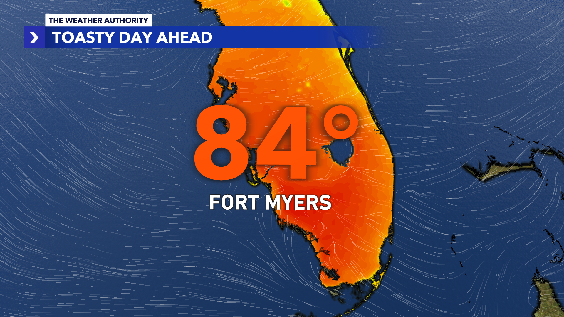
Highs will reach the mid-80s with sun and clouds overhead.
A few showers are possible, primarily later this evening in areas to the south.

Sunday
Like Saturday morning, fog is possible across Southwest Florida.
High pressure continues to dominate, meaning warm temperatures will stick around for another day, topping out in the mid-80s.
Sun and clouds stick around throughout the day, ahead of a cold front moving through the area.
This week
Isolated rain and gusty winds will build in, bringing down much colder air by Tuesday.

Highs will struggle to reach the low 60s by Tuesday, with overnight lows down into the 30s and 40s throughout the week.

A reinforcing cold front moves through Wednesday into Thursday, keeping our highs in the 60s throughout the week.
Beach and boating
A nice, warm day is expected out on the water today with light winds out of the east around 5 to 10 knots.

The Gulf wave heights are reaching 1 to 2 feet with a light chop in our bays and inland waters. The Gulf water temperature is at 64 degrees.
Share: