Weather
Tracking the Freeze: Team coverage for possible snow flurries this Sunday
WINK Digital Team
•1/30/2026
Source: WINK News

WINK News is looking to bring you extensive coverage of the cold and possible snow flurries this Sunday.
We will have team coverage at hubs in Southwest Florida that, according to The Weather Authority, could see these flurries.
The Weather Authority said that this powerful cold front will usher in the coldest air our area has seen in over 16 years. Due to this cold front, there is a potential for snow flurries along Florida's west coast overnight Saturday into Sunday morning.
Meteorologist Oceana Hayden explained this rare event. She said that following Saturday’s cold front, we are going to see extremely windy conditions with wind sustained at 15-25 miles per hour and gusts up to 30-40 miles per hour, which is, at some points, tropical storm-level winds.

Promenade West at The Forum.
“Behind that cold front, an Arctic air mass is gonna head really far south. And what we're watching for with the models in terms of that potential for snowfall is something called a 540 line, and it's pretty interesting, and if that dips far enough south, it's really the line of where you would see frozen precipitation or liquid precipitation,” she said.
Hayden said that with this Arctic air mass moving really far south into the state, that's moving that line pretty far south into the possibly Charlotte County area, but that doesn't mean we'll see any accumulation on Sunday.
“It's more so flurries, and they're going to be Gulf Effect. Essentially, it has to do with the temperature of the Gulf versus the temperature thousands of feet above our heads,” she said.
The Gulf temperature right now is in the '50s, specifically for the Tampa Bay area. The Weather Authority is watching for the potential for snow flurries.
“We're watching the wind direction, so the wind direction primarily looks to be out of the north, northwest, which is right over the Gulf, so that potential for snow flurries is primarily there for Pinellas and Sarasota Counties,” Hayden said.
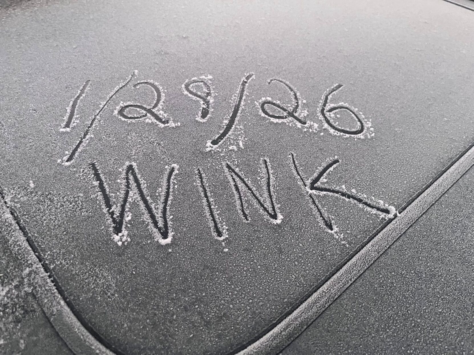
She said that it also depends on the moisture we have leftover by the time the Arctic air arrives. If we are able to squeeze out a shower or two late Saturday night, that would be Charlotte County's best chance at seeing a flurry!
Location is tough at this time; models are struggling with that, but the potential is greatest in areas to our north.
As the Arctic air mass moves in, it's going to be around 10 to 20 degrees up there, and that 30-degree temperature difference between the air aloft and the surface water temperature is what makes that potential for that moisture to create those clouds and create those snow flurries.

WINK News reporter Brinkley Hill will be in Tarpon Springs, an area with the highest chance of seeing flurries.
Weather Authority Meteorologist Lauren Kreidler will be doing weather from Arcadia, which is under an extreme cold warning for Sunday, with feels-like temperatures in the teens.
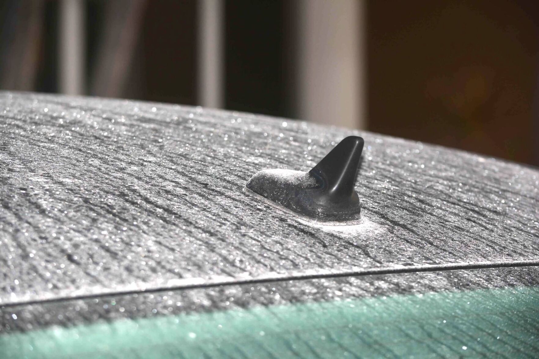
SE Cape Coral
Bridget Bruchalski will be live in Lee County, where we will be under a freeze warning for the first time since Jan of 2022.
In January 2025, a winter storm brought historic snow, ice, and freezing temperatures to the Deep South, producing impacts rarely seen across the area. This caused snow in the northern part of Florida.
Get the latest information on this cold front on-air and online.
Share: